Dougherty County Map, Georgia
Check this Georgia County Map to locate all the state’s counties in Georgia Map. Mountain Peaks in Dougherty County Mountain Peak/Hill Elevation [Meter] Fossil Sand Dunes 70 Airports in Dougherty County Airport Name…
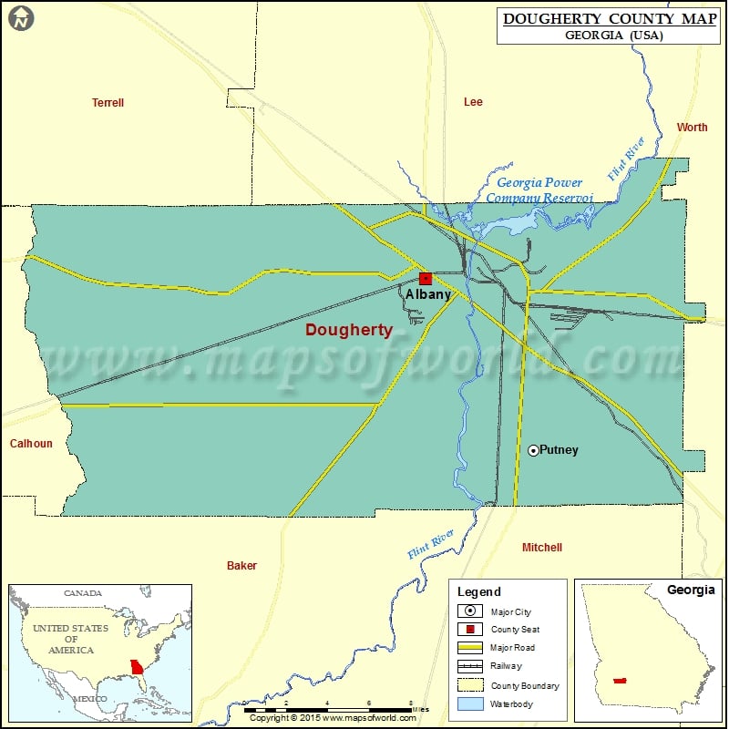
Check this Georgia County Map to locate all the state’s counties in Georgia Map .
Mountain Peaks in Dougherty County
Mountain Peak/Hill
Elevation [Meter]
Fossil Sand Dunes
70
Airports in Dougherty County
Airport Name
Double ‘O’ Farm Airport
Palmyra Park Heliport
Southwest Georgia Regional Airport
Tallassee Plantation Airport
Virgil Heliport
Cities in Dougherty County
City
Population
Latitude
Longitude
Albany city
77434
31.577604
-84.176324
Putney
2898
31.475514
-84.100641
Golf Courses in Dougherty County
Name of Golf Course
Latitude
Longitude
Doublegate Country Club-Albany
31.613012
-84.255905
Flint River Municipal Golf Course-Albany
31.60797
-84.098201
River Pointe Golf Club-Albany
31.618334
-84.135506
Stonebridge Golf &Country Club-Albany
31.575555
-84.28227
The First Tee of Albany-Albany
31.570502
-84.149558

 Wall Maps