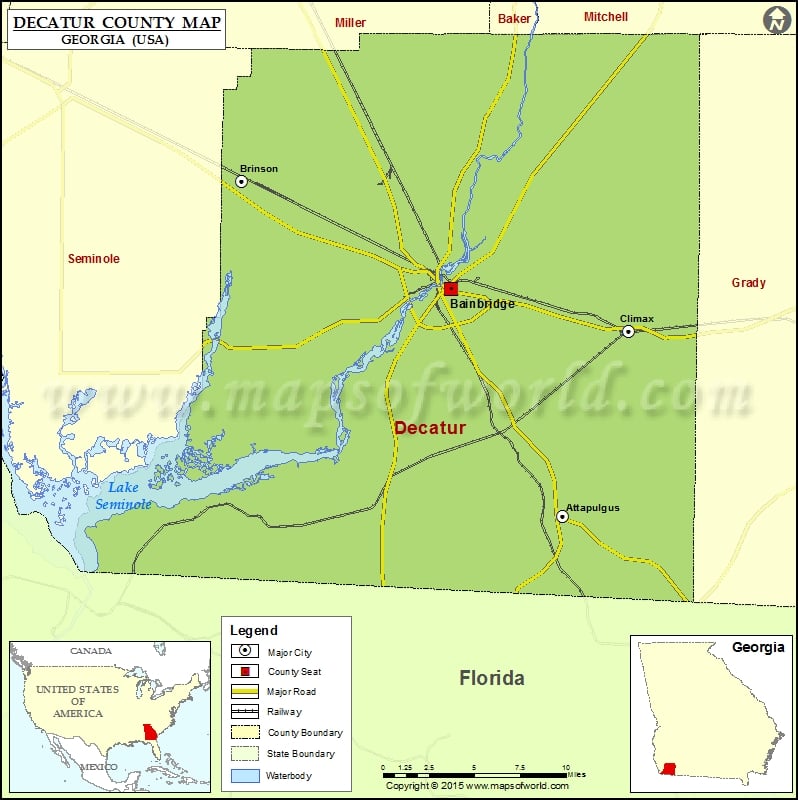
Check this Georgia County Map to locate all the state’s counties in Georgia Map. Airports in Decatur County Airport Name Brock Airpark Decatur County Industrial Air Park Memorial Hospital Heliport Viola Farm Airport…
Check this Georgia County Map to locate all the state’s counties in Georgia Map.
Airports in Decatur County
| Airport Name |
| Brock Airpark |
| Decatur County Industrial Air Park |
| Memorial Hospital Heliport |
| Viola Farm Airport |
More Maps of Decatur County
Cities in Decatur County
| City |
Population |
Latitude |
Longitude |
| Attapulgus city |
449 |
30.74949 |
-84.483886 |
| Bainbridge city |
12697 |
30.904545 |
-84.572159 |
| Brinson town |
215 |
30.978442 |
-84.737945 |
| Climax city |
280 |
30.875632 |
-84.431203 |
Golf Courses in Decatur County
| Name of Golf Course |
Latitude |
Longitude |
| Bainbridge Country Club-Bainbridge |
30.863614 |
-84.591914 |
| The Pines Golf Course-Bainbridge |
30.980531 |
-84.627279 |

 Wall Maps