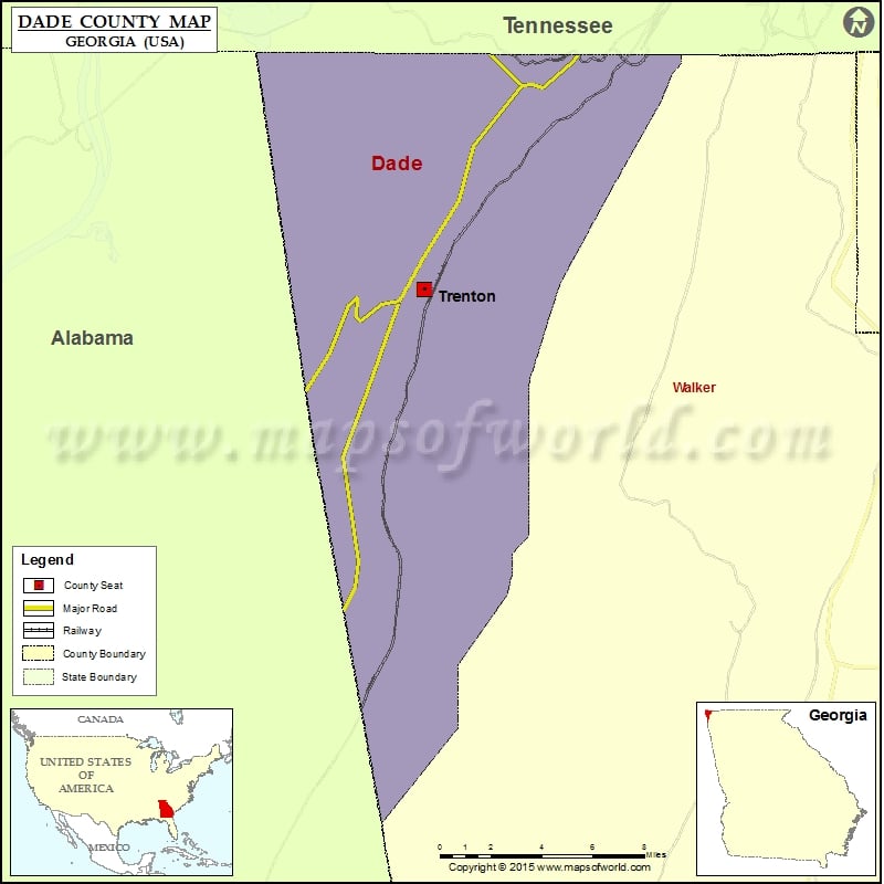
Check this Georgia County Map to locate all the state’s counties in Georgia Map. Mountain Peaks in Dade County Mountain Peak/Hill Elevation [Meter] Castle Rock 432 Fox Mountain 580 Lawson Mountain 463 Tatum…
Check this Georgia County Map to locate all the state’s counties in Georgia Map .
Mountain Peaks in Dade County
Mountain Peak/Hill
Elevation [Meter]
Castle Rock
432
Fox Mountain
580
Lawson Mountain
463
Tatum Mountain
501
Windy Mountain
477
Airports in Dade County
Airport Name
Cottonwood Airport
Lookout Mountain Airport
Stakely Heliport
Warren Field
Cities in Dade County
City
Population
Latitude
Longitude
Trenton city
2301
34.87415
-85.509647
Golf Courses in Dade County
Name of Golf Course
Latitude
Longitude
Big Sandy Golf Course-Trenton
34.838657
-85.568952
Trenton Golg Club-Trenton
34.838116
-85.551711
National Parks in Dade County
Name of Park
Latitude
Longitude
Chickamauga and Chattanooga NMP
35.001636
-85.352766
Chickamauga and Chattanooga NMP
34.972602
-85.380411

 Wall Maps