
 Wall Maps
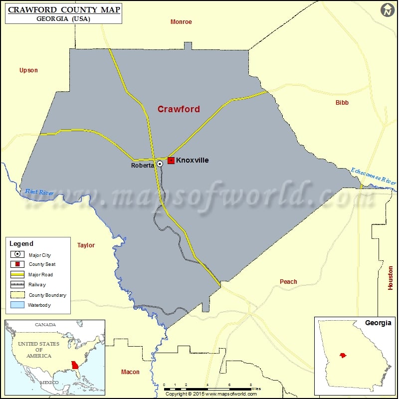
Check this Georgia County Map to locate all the state’s counties in Georgia Map.
Airports in Crawford County
| Airport Name |
|---|
| Police H Port-Redbird Heliport |
| Roberta Industrial Park Airport |
More Maps of Crawford County
Cities in Crawford County
| City | Population | Latitude | Longitude |
|---|---|---|---|
| Knoxville | 69 | 32.723259 | -83.995933 |
| Roberta city | 1007 | 32.719609 | -84.010424 |