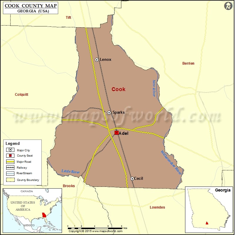
Check this Georgia County Map to locate all the state’s counties in Georgia Map. Airports in Cook County Airport Name Cook County Airport Cities in Cook County City Population Latitude Longitude Adel city…
Check this Georgia County Map to locate all the state’s counties in Georgia Map.
Airports in Cook County
| Airport Name |
| Cook County Airport |
Cities in Cook County
| City |
Population |
Latitude |
Longitude |
| Adel city |
5334 |
31.131649 |
-83.425027 |
| Cecil city |
286 |
31.046573 |
-83.390704 |
| Lenox town |
873 |
31.267256 |
-83.467193 |
| Sparks town |
2052 |
31.169332 |
-83.440527 |
Golf Courses in Cook County
| Name of Golf Course |
Latitude |
Longitude |
| Circlestone Country Club-Adel |
31.1179 |
-83.440379 |

 Wall Maps