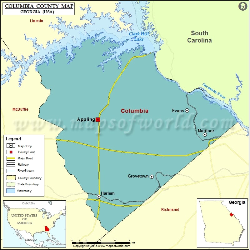
Columbia County Map, Georgia
Check this Georgia County Map to locate all the state’s counties in Georgia Map. Mountain Peaks in Columbia County Mountain Peak/Hill Elevation [Meter] Burks Mountain 142 Mount Carmel 153 More Maps of Columbia…
Check this Georgia County Map to locate all the state’s counties in Georgia Map .
Mountain Peaks in Columbia County
Mountain Peak/Hill
Elevation [Meter]
Burks Mountain
142
Mount Carmel
153
More Maps of Columbia County
Airports in Columbia County
Airport Name
Carpenter Airport
Cities in Columbia County
City
Population
Latitude
Longitude
Evans
29011
33.561938
-82.135073
Grovetown city
11216
33.449467
-82.206477
Harlem city
2666
33.415438
-82.313797
Martinez
35795
33.520897
-82.098468
Golf Courses in Columbia County
Name of Golf Course
Latitude
Longitude
Bartram Trail Golf Club-Evans
33.519633
-82.216215
Champions Retreat Golf Club-Evans
33.596398
-82.165935
Jones Creek Golf Club-Evans
33.551338
-82.1035
Three Oaks Golf Course-Harlem
33.487381
-82.33283
West Lake Country Club-Augusta
33.54312
-82.061792

 Wall Maps