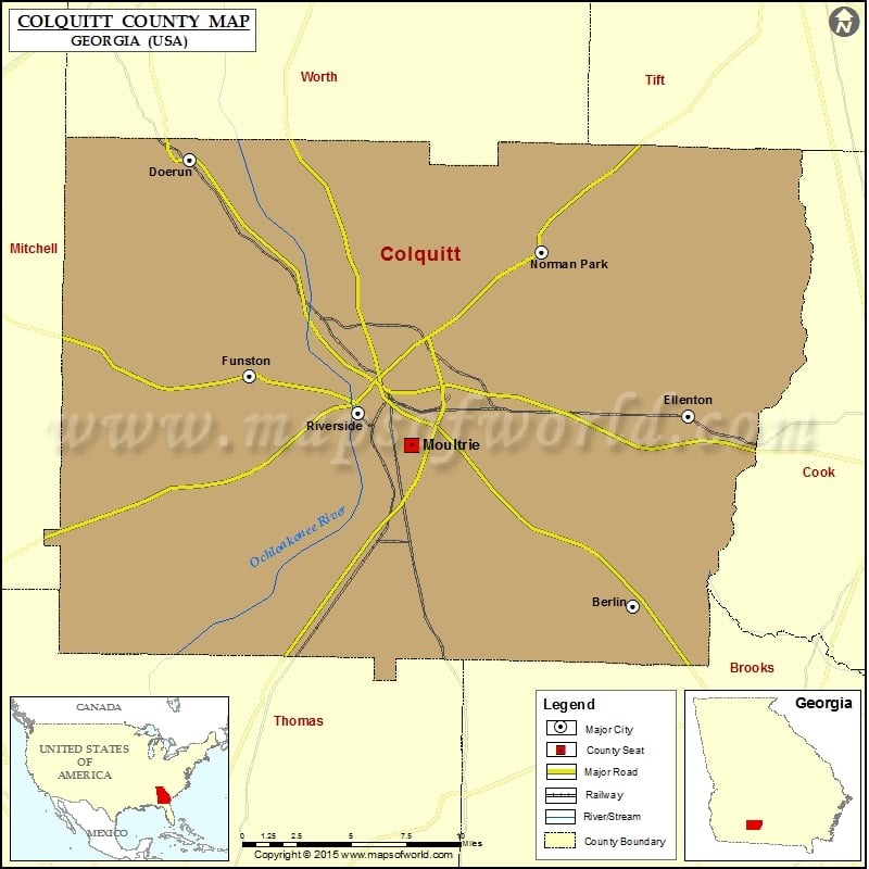
Colquitt County Map, Georgia
Check this Georgia County Map to locate all the state’s counties in Georgia Map. Airports in Colquitt County Airport Name Byrd Memorial Hospital Heliport Groveton Trinity County Airport Lost Creek Farms Airport Sunbelt…
Check this Georgia County Map to locate all the state’s counties in Georgia Map .
Airports in Colquitt County
Airport Name
Byrd Memorial Hospital Heliport
Groveton Trinity County Airport
Lost Creek Farms Airport
Sunbelt Strip
Cities in Colquitt County
City
Population
Latitude
Longitude
Berlin city
551
31.06785
-83.62388
Doerun city
774
31.321837
-83.916959
Ellenton town
281
31.175973
-83.587622
Funston city
449
31.198888
-83.877038
Moultrie city
14268
31.159442
-83.77037
Norman Park City
972
31.26921
-83.684273
Riverside town
35
31.178132
-83.80546
Golf Courses in Colquitt County
Name of Golf Course
Latitude
Longitude
Barrens Golf Course-Doerun
31.321168
-83.902456
Rogers Gardens Golf Course-Moultrie
31.186919
-83.734817
Sunset Country Club-Moultrie
31.134924
-83.78685

 Wall Maps