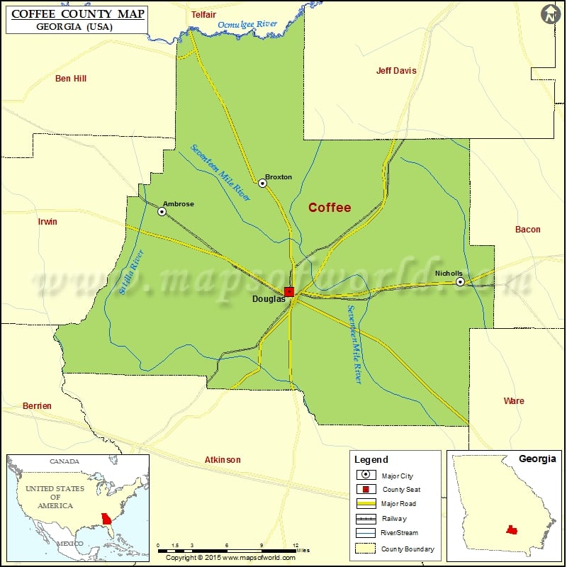
Check this Georgia County Map to locate all the state’s counties in Georgia Map. Mountain Peaks in Coffee County Mountain Peak/Hill Elevation [Meter] Rose Hill 91 More Maps of Coffee County Coffee County…
Check this Georgia County Map to locate all the state’s counties in Georgia Map.
Mountain Peaks in Coffee County
| Mountain Peak/Hill |
Elevation [Meter] |
| Rose Hill |
91 |
More Maps of Coffee County
Airports in Coffee County
| Airport Name |
| Douglas Municipal Airport |
Cities in Coffee County
| City |
Population |
Latitude |
Longitude |
| Ambrose city |
380 |
31.594442 |
-83.013715 |
| Broxton city |
1189 |
31.624794 |
-82.887711 |
| Douglas city |
11589 |
31.507326 |
-82.854318 |
| Nicholls city |
2798 |
31.519151 |
-82.638683 |
Golf Courses in Coffee County
| Name of Golf Course |
Latitude |
Longitude |
| Beaver Kreek Golf Club-Douglas |
31.553228 |
-82.796442 |
| Community Golf Course-Douglas |
31.495814 |
-82.851825 |
| Douglas Golf & Country Club-Douglas |
31.522764 |
-82.836099 |
| Hinson Hills Golf Center-Douglas |
31.504648 |
-82.800057 |

 Wall Maps