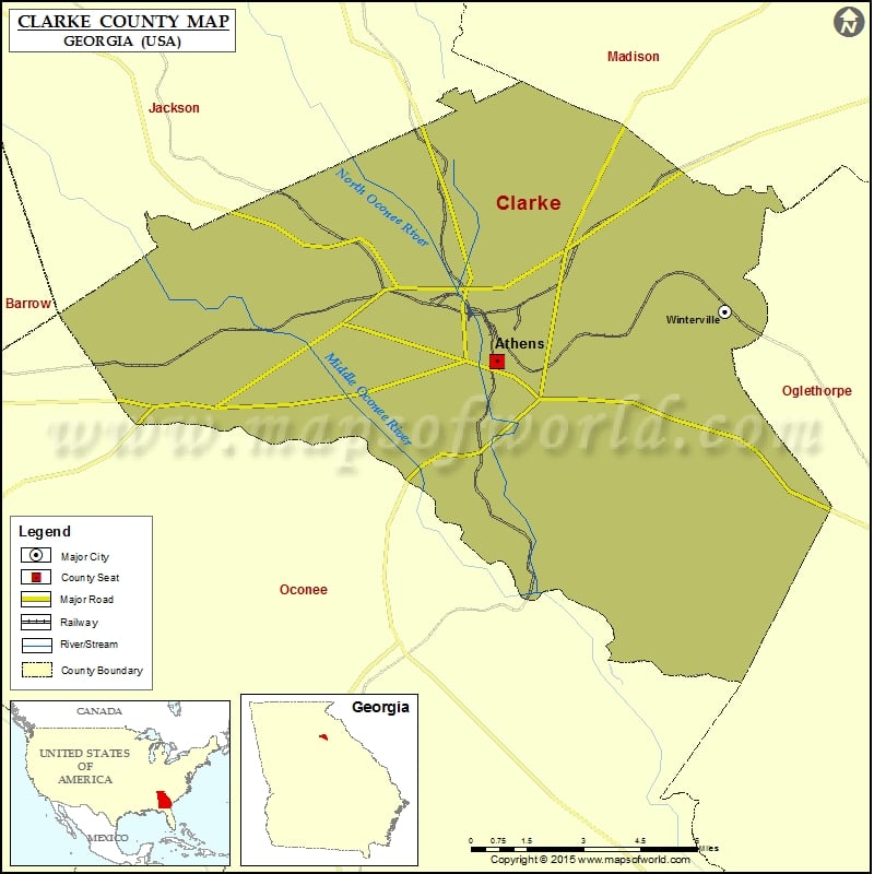
Check this Georgia County Map to locate all the state’s counties in Georgia Map. Airports in Clarke County Airport Name Athens Ben Epps Airport St Marys Health Care Systems Heliport More Maps of…
Check this Georgia County Map to locate all the state’s counties in Georgia Map.
Airports in Clarke County
| Airport Name |
| Athens Ben Epps Airport |
| St Marys Health Care Systems Heliport |
More Maps of Clarke County
Cities in Clarke County
| City |
Population |
Latitude |
Longitude |
| Athens-Clarke County unified government (balance) |
115452 |
33.950817 |
-83.368942 |
| Winterville city |
1122 |
33.966624 |
-83.281475 |
Golf Courses in Clarke County
| Name of Golf Course |
Latitude |
Longitude |
| Athens Country Club-Athens |
33.97446 |
-83.413615 |
| Creekside Country Club-Athens |
33.886605 |
-83.320162 |
| University of Georgia Golf Course-Athens |
33.920644 |
-83.374376 |

 Wall Maps