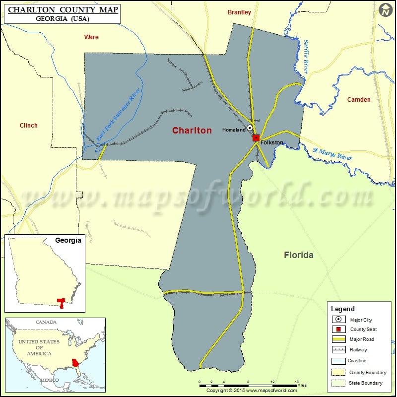
Check this Georgia County Map to locate all the state’s counties in Georgia Map. Mountain Peaks in Charlton County Mountain Peak/Hill Elevation [Meter] Ellicotts Mound 34 Airports in Charlton County Airport Name Davis…
Check this Georgia County Map to locate all the state’s counties in Georgia Map.
Mountain Peaks in Charlton County
| Mountain Peak/Hill |
Elevation [Meter] |
| Ellicotts Mound |
34 |
Airports in Charlton County
| Airport Name |
| Davis Field |
| Okefenokee Heliport |
Cities in Charlton County
| City |
Population |
Latitude |
Longitude |
| Folkston city |
2502 |
30.839251 |
-82.007246 |
| Homeland city |
910 |
30.860272 |
-82.021191 |

 Wall Maps