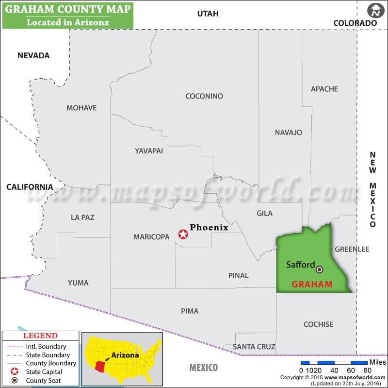
Graham County Map, Arizona shows a visual representation of the county's location. It is located in the southeastern part of the state. Graham County, Arizona is known for its beautiful natural landscapes, including Mount Graham. The map also shows the county seat Safford.
Graham County Map showing the location of Graham County in Arizona.
Map of Graham County, Arizona
You can also create a a personalized map of Graham County, simply click the ‘Customize’ button above the map. It will redirect you to our digital store where you can create a customize map of Graham County as per your needs or liking. Also, explore our comprehensive Arizona County Map to discover more about the state’s counties.

 Wall Maps