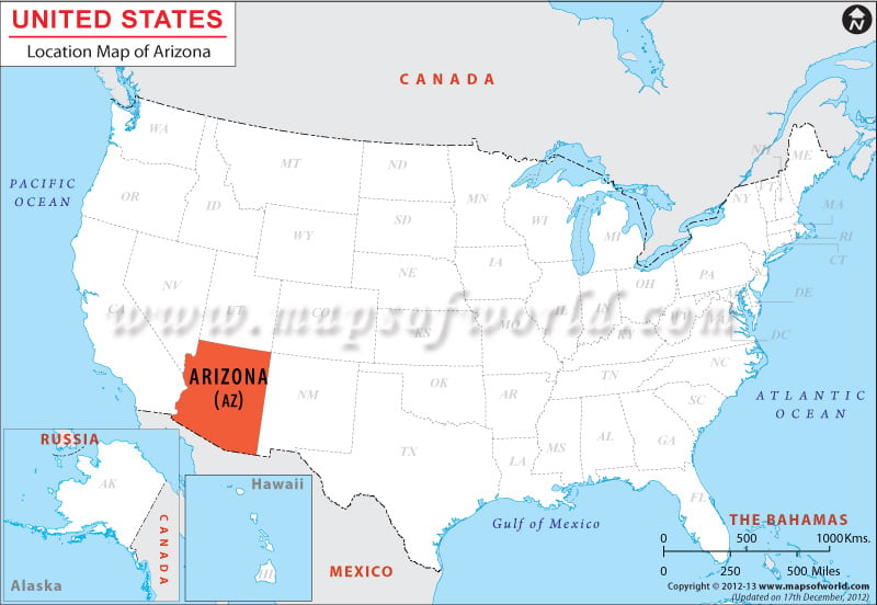
Where is Arizona Located?
Arizona is one of the Four Corner States. The other three states are Colorado, New Mexico, and Utah.
The state is bounded by New Mexico, Nevada, Utah, and California and touches Colorado. It also shares a 389-mile long international frontier with Mexico. Arizona is the biggest landlocked American state in terms of population.
The state has an area of 113,998 square miles, which makes it the sixth biggest U.S. state. The coordinates of the state are 34°N 112°W. The mean elevation of AZ is around 1,200 meters or 4,000 feet.
Facts About Arizona |
|---|
| State Name | Arizona |
|---|---|
| Country | United States (USA) |
| Continent | North America |
| Capital and largest city | Phoenix |
| Area | 113,990 sq mi (295,234 km2) |
| Population | 6,731,484 (2014 est) |
| Lat Long | 34° 0′ 0″ N, 112° 0′ 0″ W |
| Official Language | English |
| Calling Code | 00 1 602 X- Phoenix |
| Time Zone | Mountain Time Zone (UTC-07:00) |
| Airport | 11- Airports (Commercial Service) |
| Neighbour State | California, Nevada, Utah, New Mexico, Colorado |
| Internet TLD | |
| Currency | United State Dollar (USD) |

 Wall Maps