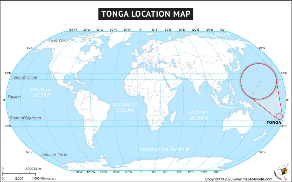
- Continent And Regions - Oceania Map
- Other Tonga Maps - Tonga Map, Tonga Blank Map, Tonga Political Map, Tonga Cities Map, Tonga Flag
The country of Tonga is in the Oceania continent and the latitude and longitude for the country are 43.3503° N and 79.0804° E.
Maritime Boundaries
- Fiji
- New Zealand
- Samoa
- American Samoa
- Niue
- Wallis and Futuna
Facts About Tonga |
| Country Name | Tonga |
|---|---|
| Continent | Oceania |
| Capital and largest city | Nukuʻalofa |
| Area | 748 km2 (289 sq mi) |
| Population | 103,036 (2011 census) |
| Lat Long | 21.1333° S, 175.2000° W |
| Official Language | Tongan, English |
| Calling Code | +676 |
| Time Zone | (UTC+13) DST not observed |
| Airport | 6-Airports |
| Neighbour Countries | Fiji and Wallis and Futuna (France), Samoa to the northeast, Niue |
| Internet TLD | .to |
| Currency | Paʻanga (TOP) |

 Tonga Facts