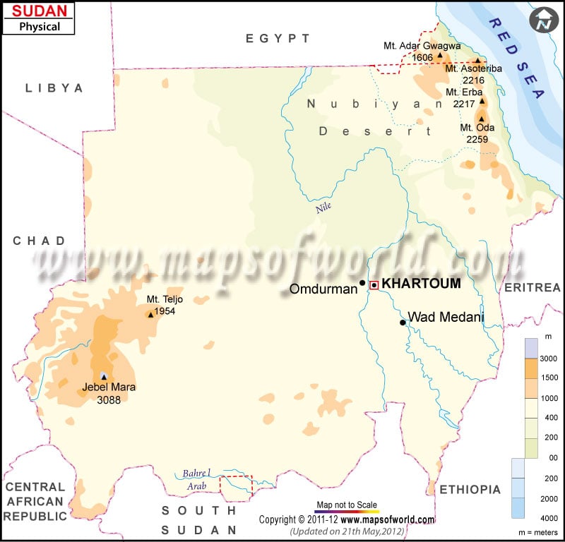
- Neighboring Countries - Chad, Libya, Egypt, Eritrea, Ethiopia, South Sudan
- Continent And Regions - Africa Map
- Other Sudan Maps - Sudan Map, Where is Sudan, Sudan Blank Map, Sudan Road Map, Sudan Rail Map, Sudan River Map, Sudan Cities Map, Sudan Political Map, Sudan Flag
South Africa, known as the Republic of South Africa, officially is the southernmost country in Africa. The government has 2,798 kilometres (1,739 mi) of coastline stretching along the Indian Ocean and South Atlantic Ocean. South Africa shares its boundary with Namibia, Botswana and Zimbabwe and to the east and northeast by Eswatini and Mozambique.
South Africa Physical Features
The country surrounds the enclaved country of Lesotho. The country covers an area of over 1,221,037 square kilometres (471,011 sq mi). South Africa lies between latitudes 22. S and 35.S and longitude16. E and 33. E. The capital city of South Africa, Cape Town, is also marked on the map.
There is considerable variation in the topography of South Africa, although much of this is classified as semi-arid. The county’s landscape is dominated by a high Central Plateau surrounded by coastal lowlands. Further relief of South Africa can be divided into the following Topographic Divisions:
Central Plateau
The region forms an essentially flat, tilted surface area and is highest in the east and sloping gently downwards to the west. The central plateau has an average height of about 1,000 m above sea level. The southwestern and southern edges of the table are at about 1600 to 1900 m above sea level. In contrast, the plateau is highest in the east, with heights ranging between 2,000 and 3,300m. The highlands of Lesotho forms a localised high spot on Central Plateau.
Great Escarpment
The area consists of steep slopes from the high central South African plateau in the ocean surrounding Southern Africa on three sides. Steep Escarpment is formed along the plateau’s edge as the land drops sharply to the coastal plains known as Drakensberg Mountains. It is one of the major topographic features in Africa. The western and southern Escarpment is not high as the Drakensberg.
Coastal Plain and Coastline
The coastal plain in the country varies in width from 250 km in the northeast to 60 km in the northwest. The tables consist of the foot of the Escarpment to the coast. This area consist of Limpopo Lowveld, merging into Mpumalanga Lowveld. The coastline of Africa is smooth, with very few natural harbours. The reason. The present coast of the country was once part of the underwater continental shelf containing very few gorges or ravines. Cape Peninsula forms the southernmost tip of the coastal strip bordering the Atlantic Ocean,
Cape Fold Mountains
This mountain has a series of mountains that lie south and southwest of the coastal plains running parallel to the coastline. The rocks of the Cape Fold Mountains were laid down 520-350 million years ago. The stones were crumpled into a series of parallel folds by the collision of the Falkland Plateau. These series of parallel folds form an “L” shape.
Principal Rivers of South Africa
Limpopo River and Orange River are two significant rivers that flow across the central plateau from east to west and then empty into the Atlantic Ocean at the Namibian border. The tributaries of the Orange River deeply erode the Great Escarpment. The numerous short rivers drain southern and eastern coastal regions. The West region has very few rivers because of the area’s aridity.
