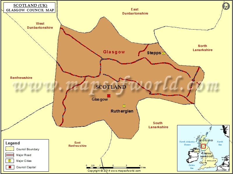
The Glasgow City Council of Scotland plays a major role in the political scenario of Glasgow. They deal with most of the important decisions concerning the city. Their role is evident in the elections to Westminster and the Scottish Parliament and in the elections to the council at Glasgow City Chambers.
The old city of Glasgow was governed by the then Glasgow Town Council. However, in the year 1895, it became The Corporation of the City of Glasgow and until the year 1975, it retained this particular name. It then came to be known as the City of Glasgow District Council. Following the termination of the Strathclyde Regional Council and the transfer of its tasks to the Glasgow District Council, it became known as the Glasgow City Council.
The city council was established in the year 1996. It took over the responsibilities and powers that were previously handled by the Strathclyde Region and the Glasgow City district. The council is composed of 79 councilors who are elected after every four years from amongst 21 wards. These wards came into existence in the year 2007.
The Lord Provost of Glasgow rules the Glasgow council and the executive branch of the council are governed by a Leader of the Council.
Cities in Glasgow Council |
|||
| Council | City | Latitude | Longitude |
|---|---|---|---|
| Glasgow | Rutherglen | 55.82 | -4.22 |
| Glasgow | Stepps | 55.88 | -4.15 |
