- Peru Regions - Amazonas, Ancash, Apurimac, Arequipa, Ayacucho, Cajamarca, Callao, Cusco, Huancavelica, Huanuco, Ica, Junin, La Libertad, Lambayeque, Lima Province, Lima, Loreto, Madre de Dios, Moquegua, Pasco, Piura, Puno, San Martin, Tacna, Tumbes, Ucayali
- Peru Cities - Huancayo, Huaraz, Ica, Lima, Tacna, Trujillo
- Neighboring Countries - Brazil, Bolivia, Ecuador, Chile, Colombia
- Continent And Regions - South America, Americas
- Other Peru Maps - Peru Map, Peru Blank Map, Peru Political Map, Peru Road Map, Peru Railway Map, Peru River Map, Peru Physical Map, Peru Flag
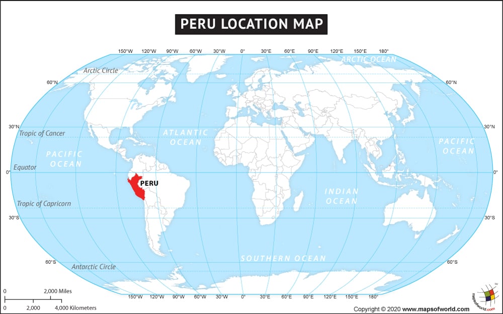
The country of Peru is in the South America continent and the latitude and longitude for the country are 11.2583° S, 75.1374° W.
The neighboring countries of Peru are :
- Bolivia
- Brazil
- Colombia
Facts About Peru |
|---|
| Country Name | Peru |
|---|---|
| Continent | South America |
| Capital and largest city | Lima |
| Area | 1,285,216 km2 (496,225 sq mi) Water (%) 0.41 |
| Population | 31,151,643 (2015 Est.) |
| Lat Long | 12.0433° S, 77.0283° W |
| Official Language | Spanish |
| Calling Code | +51 |
| Time Zone | PET (UTC−5) |
| Airport | Total of 234 airports, 5 international airports, its 18 domestic airports with scheduled services, 60 domestic airports |
| Neighbour countries | Chile, Bolivia, Colombia, Ecuador, Brazil |
| Internet TLD | .pe |
| Currency | Peruvian nuevo sol |
