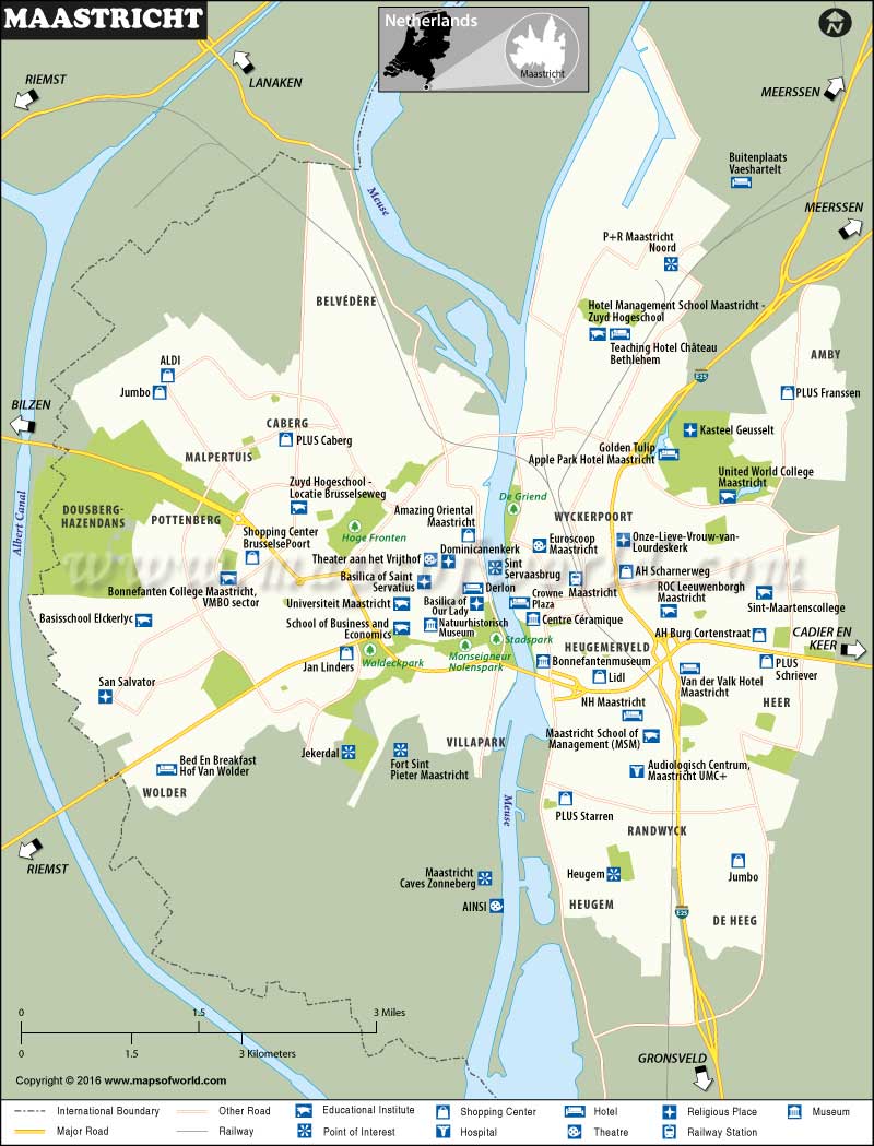
Maastricht, The Netherlands
Located on both banks of the Meuse River, Maastricht is the capital of the province of Limburg in the Netherlands. Settled around 500 BC, it is one of the oldest cities in the country.
How to Reach Maastricht
Maastricht Aachen Airport (MST) has regular scheduled flights to Spain, Poland, and Hungary.
Maastricht railway station is served by three routes of Nederlandse Spoorwegen, the county’s main railway operator.
the A2 and A79 motorways traverse the city. It lies about three-hour’s drive from Amsterdam.
Best Time to Visit Maastricht
Maastricht has a moderate climate. Although months of June, July, and August are the hottest, Summer is an ideal time to explore the city’s old quarter and shop for souvenirs in weekend markets. The city hosts several festivals in May and September.
Things to Do in Maastricht
Popular for for shopping and recreation, the city is one of the busiest commercial and tourist centers in the country. Several parks and promenades along the river, lively squares & historical sights, medieval city walls & gates, pedestrianized shopping streets & pavement cafes, and picturesque neighborhoods baffle visitors in quality as well as charm. The Treasures of Saint Servatius, Bonnefanten Museum, Mount Saint Peter, Museum aan het Vrijthof, and Saint Pietersberg Caves are prominent attractions in Maastricht.
Facts about Maastricht
The city has 1677 listed national heritage sites.
It has become known as the birthplace of the European Union (EU), due to the Maastricht Treaty.
