- Continent And Regions - Oceania Map
- Other Marshall Islands Maps - Marshall Islands Map, Marshall Islands Political Map, Marshall Islands Flag
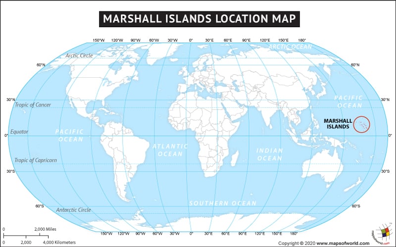
The country of Marshall Islands is in the Oceania continent and the latitude and longitude for the country are 7.2971° N, 168.7061° E.
The neighboring countries of Marshall Islands are:
Maritime Boundaries
- Kiribati
- Federated States of Micronesia
- Nauru
- Wake Island
Facts About Marshall Islands |
| Country Name | Marshall Islands |
|---|---|
| Continent | Oceania |
| Capital and largest city | Majuro |
| Area | 181 km2 (70 sq mi) |
| Population | 68,000 (2009 Est.) |
| Lat Long | 7.0667° N, 171.2667° E |
| Official Language | Marshallese, English |
| Calling Code | +692 |
| Time Zone | MHT (UTC+12) |
| Airport | 35 Airports in Marshall Islands |
| Neighbour Countries | Federated States of Micronesia, Nauru, Wake Island |
| Internet TLD | .mh |
| Currency | United States Dollar (USD) |

 Marshall Islands Facts