- In the extension bar, click the AdBlock Plus icon
- Click the large blue toggle for this website
- Click refresh
- In the extension bar, click the AdBlock icon
- Under "Pause on this site" click "Always"
- In the extension bar, click on the Adguard icon
- Click on the large green toggle for this website
- In the extension bar, click on the Ad Remover icon
- Click "Disable on This Website"
- In the extension bar, click on the orange lion icon
- Click the toggle on the top right, shifting from "Up" to "Down"
- In the extension bar, click on the Ghostery icon
- Click the "Anti-Tracking" shield so it says "Off"
- Click the "Ad-Blocking" stop sign so it says "Off"
- Refresh the page
- In the extension bar, click on the uBlock Origin icon
- Click on the big, blue power button
- Refresh the page
- In the extension bar, click on the uBlock icon
- Click on the big, blue power button
- Refresh the page
- In the extension bar, click on the UltraBlock icon
- Check the "Disable UltraBlock" checkbox
- Marque la casilla de verificación "Desactivar UltraBlock"
- Please disable your Ad Blocker
If the prompt is still appearing, please disable any tools or services you are using that block internet ads (e.g. DNS Servers).

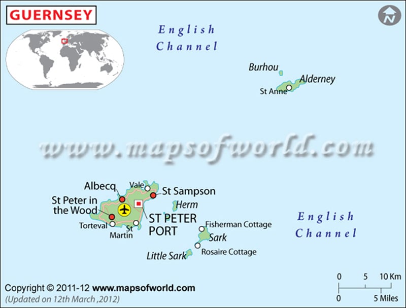
 Guernsey Facts