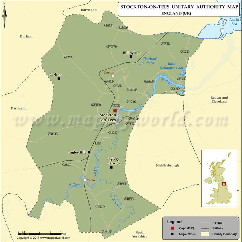
Map of Stockton-on-Tees which is the unitary authority area in the North East of England. The map shows the administrative divisions of Stockton-on-Tees, county boundary, and county capital.
Stockton-on-Tees County Map
Stockton-on-Tees County Map which is the unitary authority area in the North East of England. The map shows the administrative divisions of Stockton-on-Tees, county boundary, and county capital.
