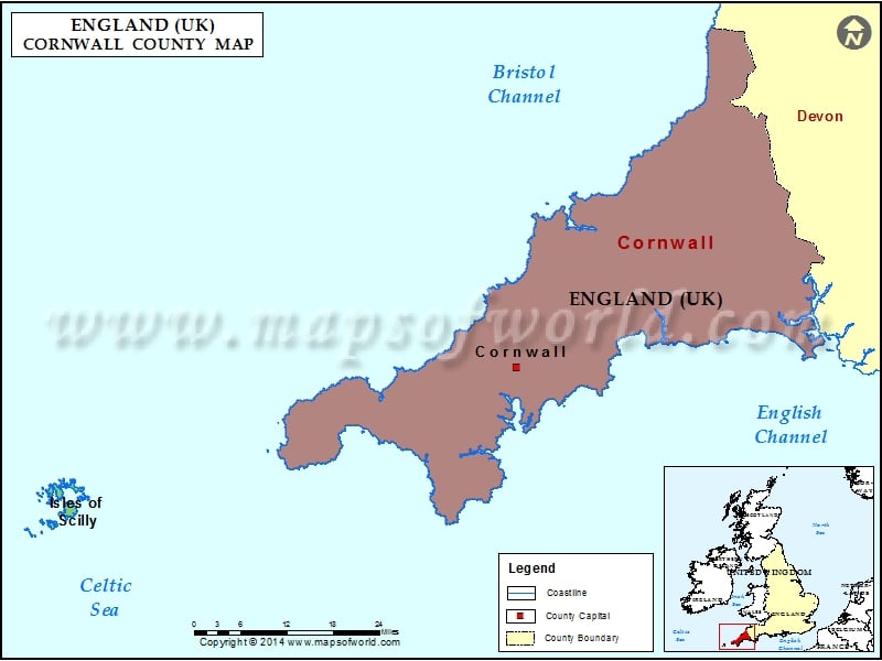
Cornwall County Map – Cornwall is a unitary authority and ceremonial county of England, in the United Kingdom. Cornwall has a population of 566,000 and covers an area of 1,376 sq mi.
Cornwall County Map
Cornwall is a unitary authority and ceremonial county of England, in the United Kingdom. Cornwall has a population of 566,000 and covers an area of 1,376 sq mi.
