- Egypt Cities - Cairo
- Neighboring Countries - Libya, Sudan, Israel, Jordan, Saudi Arabia
- Continent And Regions - Africa Map
- Other Egypt Maps - Egypt Map, Where is Egypt, Egypt Blank Map, Egypt Road Map, Egypt Rail Map, Egypt Political Map, Egypt Physical Map, Egypt Flag
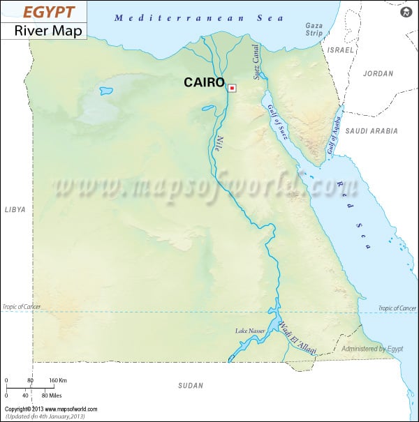
Egypt Rivers Map shows all the rivers of Egypt. The main river in Egypt is the Nile. Its length is 6650 kilometers. The drainage area is 3349000 kilometers square.
| River | Length (km) | Length (miles) | Drainage area (km²) | Outflow | Countries in the drainage basin | Egypt Governorate in the drainage basin |
|---|---|---|---|---|---|---|
| Nile River | 6650 | 4132 | 3349000 | Mediterranean Sea | Egypt, Tanzania, Burundi, Rwanda, DR Congo, Kenya, Uganda, South Sudan, Ethiopia, Sudan | Luxor, Cairo, Aswan |
