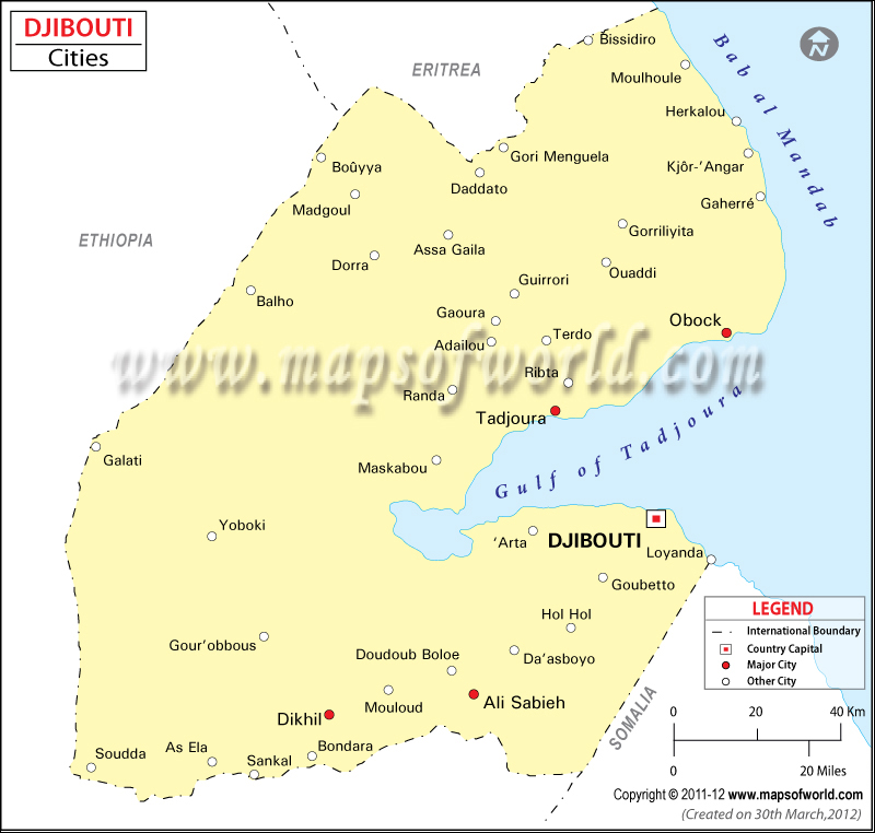
- Neighboring Countries - Eritrea, Ethiopia, Somalia, Yemen
- Continent And Regions - Africa Map
- Other Djibouti Maps - Djibouti Map, Where is Djibouti, Djibouti Blank Map, Djibouti Road Map, Djibouti Rail Map, Djibouti Political Map, Djibouti Flag
Djibouti City is the largest city in the Republic of Djibouti, apart from being the capital city of the country. The peninsula over, which Djibouti City is placed, makes a distinction between the Gulf of Tadjoura and the Gulf of Aden.
A major chunk of the population of the country of Djibouti resides in Djibouti City. Another significant fact about the city of Djibouti is that it is the only one of its kind in the entire country. Strong French influence is quite visible in Djibouti City. The latitudinal and longitudinal extent of Djibouti City is 11° 35′ 42 N and 43° 8′ 53 E, respectively.
Some of the major tourist attractions in the capital of Djibouti include the Presidential Palace, the Central Market, Le Marche Central, Lac Abbe, lac Goubet, Lac Asal, Grand Bara, Petit Bara, Gulf of Tadjoura, Obock, and Tadjoura.
Check also /djibouti/travel-and-tourism/tourist-information.html
The capital city of Djibouti is well accessible from the major cities and towns of the world via the flight services offered at the Djibouti-Ambouli International Airport. Taxis and car rental facilities provide the optimum opportunity to have a close look at Djibouti City. Buses also ply within the city and ferry services can be availed from L’Escale, Tadjoura, and Obock.

 Tadjoura