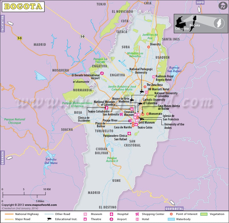
Also regarded as Santa Fe De Bogota, Bogota is the operational capital of Colombia and is officially known as Bogota DC, which stands for ‘district capital’. The census conducted in the year 2005 had verified that Bogota
is the most populated city in the country of Colombia. It had been estimated that it is home to 6,776,009 inhabitants.
The metropolitan area of Bogota comprises of 5 municipalities, namely, Cota, La Calera, Chia and Soacha. The census held in 2005 had also elucidated that the collective population of these 5 areas is approximately 7,881,156.
It has been speculated that before the Spanish explorers had established their domain in Bogota in Colombia, it was called ‘Muiscas Bacata’. Later, it acquired the name of ‘Santa Fe De Bacat’ after Gonzalo Jimenez de Quesada had founded the European settlement on the eventful day of 6th August, 1538. At one point, Bogota at Colombia also served to be the capital of New Kingdom of Granada.
Being located at the heart of the country, Bogota of Colombia is situated at a height of 2640 meters above sea level. The rivulet known as Bogota flows through the ‘sabana’ and gives rise to the fascinating ‘Tequendama Falls’.
The climate at Bogota mainly comprises of two seasons, namely rainy and dry seasons. This sort of climate is a result of a weird phenomenon known as ‘El Nino’ and ‘La Nina’. Apart from being Colombia’s largest economic center, Bogota also houses a large number of foreign companies. Large proportions of goods manufactured in Colombia are exported from Bogota.
