- Belgium Provinces - Antwerp, East Flanders, Hainaut, Liege, Limburg, Luxembourg, Namur, West Flanders
- Neighboring Countries - Luxembourg, Germany, Netherlands, France, United Kingdom
- Continent And Regions - Europe Map
- Other Belgium Maps - Belgium Map, Where is Belgium, Belgium Blank Map, Belgium Road Map, Belgium Rail Map, Belgium River Map, Belgium Political Map, Belgium Flag
The Kingdom of Belgium is a federal state in Western Europe covering an area of 11,787 square miles. It has a population of about eleven million people.
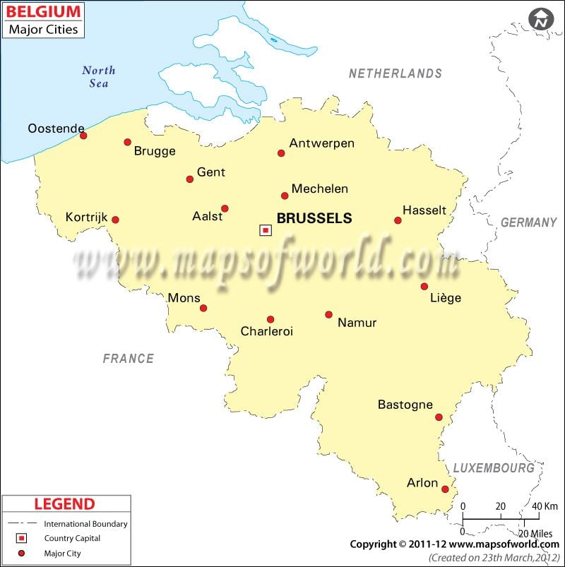
The cities map of Belgium shows the national capital, major cities along with the administrative divisions of the state. The map also clearly demarcates the provincial and international boundaries of the country. As the map shows, Belgium is bordered by France, Germany, Luxembourg, and the Netherlands.
The national capital, Brussels is marked with a red dot within a square. Brussels is also the largest city of Belgium covering an area of 12.6 square miles.
The other major cities marked in the cities map of Belgium are Oostende, Brugge, Gent, Mons, Aalst, Namur, Charleroi, Bastogne, Arlon, Liege, Hasselt, Antwerp, and Mechelen.
Belgium is a federal parliamentary democracy and a constitutional monarchy. The King is the head of the state, and appoints the Prime Minister and other ministers. Albert II is the current reigning King of Belgians. Elio de Rupo is the Prime Minister of the country.
The economy of the state is heavily dependent on the services sector. Industries and agriculture are also important. Major industries in Belgium include engineering and metal products, motor vehicle assembly, transportation equipments, processed food and beverages, basic metals, textiles, glass, and petroleum. Germany, France, Netherlands, United Kingdom, United States, Italy, Ireland, and China are the principal trading partners.
