logo


Hemisphere Map - Explore the Hemispheres

Welcome to our Hemisphere Map, where you can embark on an enlightening journey to explore the Eastern, Western, Northern, and Southern Hemispheres. Each hemisphere represents a distinct part of the world, offering unique geographical features and captivating destinations.
Email JPG Print
USA States and Capital Map
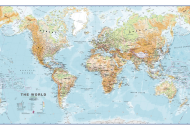
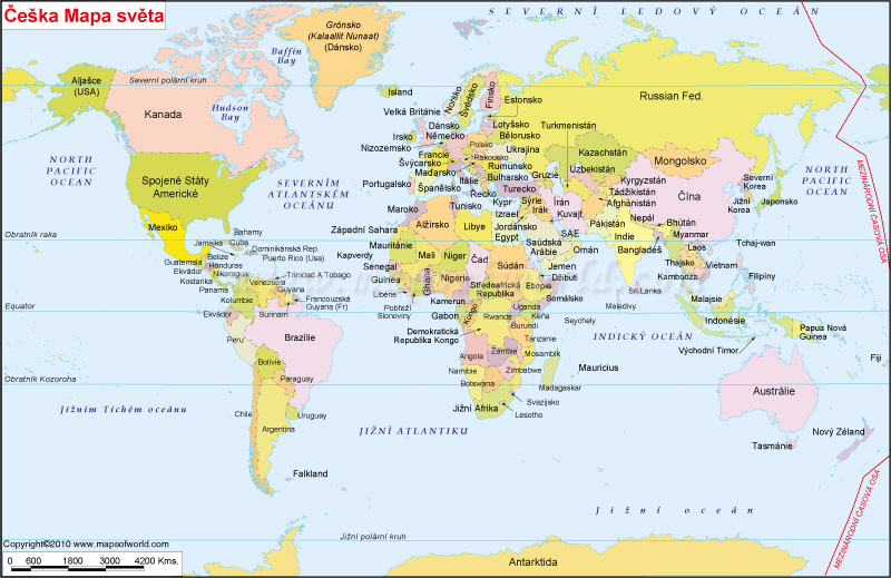
Description : This map depicts countries of the world and water bodies in Alabanian language. Disclaimer


Disclaimer  :  All efforts have been made to make this image accurate. However MapSherpa, Inc, its directors and employees do not own any responsibility for the correctness or authenticity of the same.


What is a Hemisphere

A hemisphere is a term used in geography to describe one half of the Earth, divided either horizontally or vertically. The term "hemisphere" comes from the Greek words "hemi," meaning half, and "sphere," referring to a round object or globe. There are four main hemispheres: the Northern Hemisphere, Southern Hemisphere, Eastern Hemisphere, and Western Hemisphere.


Eastern Hemisphere Map

Email JPG Print
Eastern Hemisphere Map

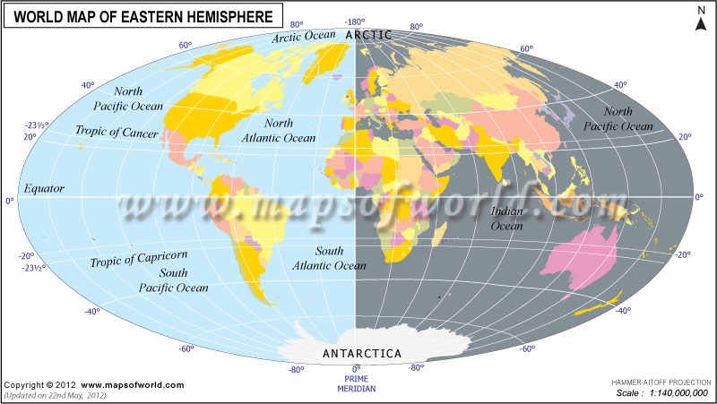
Discover the Eastern Hemisphere, which encompasses vast territories including Europe, Asia, Africa, and parts of Oceania. Our Eastern Hemisphere Map showcases all the countries which lie in the Eastern Hemisphere like China, India, Egypt, Australia, and many more.


Northern Hemisphere Map

Email JPG Print
Northern Hemisphere Map

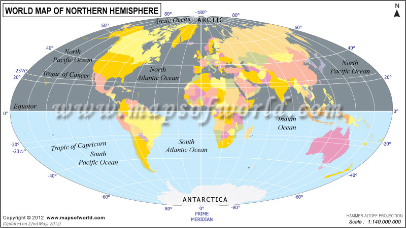
Embark on a journey through the Northern Hemisphere, encompassing the majority of Europe, Asia, North America, and parts of Africa. Our Northern Hemisphere Map shows all the countries that lie in the Northern Hemisphere like Russia, Canada, China, Germany, and more.

Southern Hemisphere Map

Email JPG Print
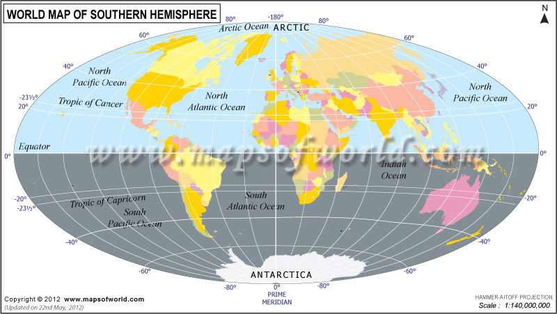
Southern Hemisphere Map

Explore the Southern Hemisphere, comprising the continents of South America, Africa, Australia, and Antarctica. Our Southern Hemisphere Map showcases all the countries that lie in the Southern Hemisphere like Brazil, South Africa, Australia, and more.

Western Hemisphere Map

Western Hemisphere Map
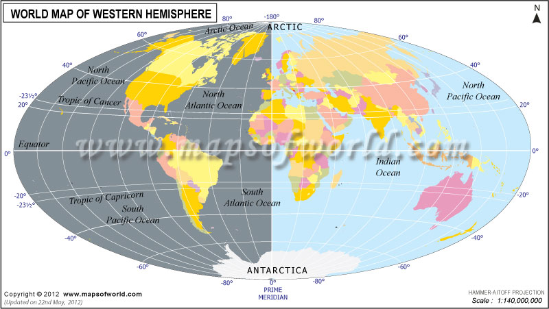
Uncover the Western Hemisphere, comprising the continents of North America, South America, and parts of Oceania. Our Western Hemisphere Map highlights all the countries that lie in the Western Hemisphere such as the United States, Canada, Brazil, Argentina, and more.

Related links
World Map with Latitude and Longitude
Prime Meridian Countries
Greenwich Meridian
Time Zones in the World