
-
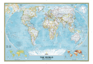
World Classic Wall Map
$16.95
-
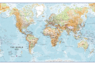
Physical World Wall Map
$33.84
-
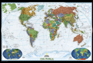
World Decorator Wall Map
$16.95
| Description : World Map showing the tectonic plates of the earth represented by the fault lines | Disclaimer |
The World Fault Line Map shows the major fault lines across the globe.
The earth is constantly moving because of which there is a continuous movement of the rocks. This movement of the rocks creates fractures or discontinuity which is better known as a fault. The tectonic forces at work within the rocks create large faults resulting in the release of energy that consequently leads to the eruption of volcanoes and earthquakes.
The surface trace of a fault is called a fault line.
When a continental/oceanic plate or two continental/oceanic plates or a continental and an oceanic plate move apart, a fault line is created; while when the plates head-on, a fold is created. For instance, as shown in the map, when the Nazca Plate and the South American Plate move apart, a fault line is created that leads to the formation of the Andes mountain range. Similarly, many mountains and other formations are created owing to the movement of other continental and oceanic plates.
The map shows the major fault lines created by the movement of the various continental and oceanic plates. The major continental plates shown in the map are:
The World Fault Line Map also shows the major oceanic plates. They are :
The African Plate as shown in the map is believed to be splitting along the East African Rift Zone. This causes cracks in the surface that results in the rise of the magma, consequently giving rise to volcanic eruptions.
The earth is constantly moving because of which there is a continuous movement of the rocks. This movement of the rocks creates fractures or discontinuity which is better known as a fault. The tectonic forces at work within the rocks create large faults resulting in the release of energy that consequently leads to the eruption of volcanoes and earthquakes.
The surface trace of a fault is called a fault line.
When a continental/oceanic plate or two continental/oceanic plates or a continental and an oceanic plate move apart, a fault line is created; while when the plates head-on, a fold is created. For instance, as shown in the map, when the Nazca Plate and the South American Plate move apart, a fault line is created that leads to the formation of the Andes mountain range. Similarly, many mountains and other formations are created owing to the movement of other continental and oceanic plates.
- North American Plate
- South American Plate
- African Plate
- Arabian Plate
- Eurasian Plate
- Bismarc Plate
- Indo-Australian Plate
- Antarctic Plate
The World Fault Line Map also shows the major oceanic plates. They are :
- Juan De Fuca Plate
- Pacific Plate
- Nazca Plate
- Scotia Plate
- Cocos Plate
- Caribbean Plate
- Philippine Plate
- Fiji Plate
- Carolina Plate
Related Links
| World Maps |
|---|