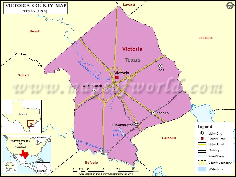
Check this Texas County Map to locate all the state’s counties in Texas Map.
Mountain Peaks in Victoria County
| Mountain Peak/Hill | Elevation [Meter] |
|---|---|
| Goldmans Hill | 29 |
| Indian Mound | 15 |
Airports in Victoria County
| Airport Name |
|---|
| Burris Ranch Airport |
| Citizens Medical Center Heliport |
| Detar Hospital – Navarro Campus Heliport |
| One O’Connor Plaza-Tower Heliport |
| Victoria Bank & Trust Motor Garage Heliport |
| Victoria Regional Airport |
Cities in Victoria County
| City | Population | Latitude | Longitude |
|---|---|---|---|
| Bloomington | 2459 | 28.650419 | -96.902195 |
| Inez | 2098 | 28.871784 | -96.795891 |
| Placedo | 692 | 28.691936 | -96.825904 |
| Quail Creek | 1628 | 28.777323 | -97.084815 |
| Victoria city | 62592 | 28.826673 | -96.984822 |
Golf Courses in Victoria County
| Name of Golf Course | Latitude | Longitude |
|---|---|---|
| Colony Creek Country Club-Victoria | 28.830729 | -96.953223 |
| Riverside Golf Course-Victoria | 28.816935 | -97.024133 |
| Victoria Country Club-Victoria | 28.848012 | -97.007597 |
 Wall Maps