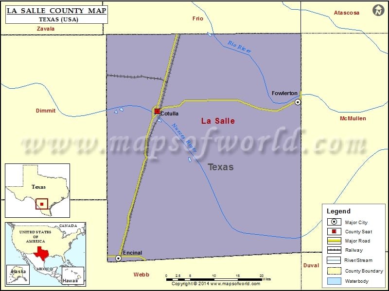
Check this Texas County Map to locate all the state’s counties in Texas Map.
Mountain Peaks in La Salle County
| Mountain Peak/Hill | Elevation [Meter] |
|---|---|
| Koon Hill | 107 |
Airports in La Salle County
| Airport Name |
|---|
| Cotulla-La Salle County |
| Crescent C Ranch Airport |
| El Caballero Airport |
| El Jardin Ranch Airport |
| Flying Hare Airport |
| Ghost Apache Airport |
| Gould Strip |
| Herradura Lodge Airport |
| Los Cuernos Ranch Airport |
| Morris Ranch Airport |
| Uno Mas Ranch Airport |
Cities in La Salle County
| City | Population | Latitude | Longitude |
|---|---|---|---|
| Cotulla city | 3603 | 28.436345 | -99.236658 |
| Encinal city | 559 | 28.04069 | -99.35506 |
| Fowlerton | 55 | 28.460841 | -98.811388 |
 Wall Maps