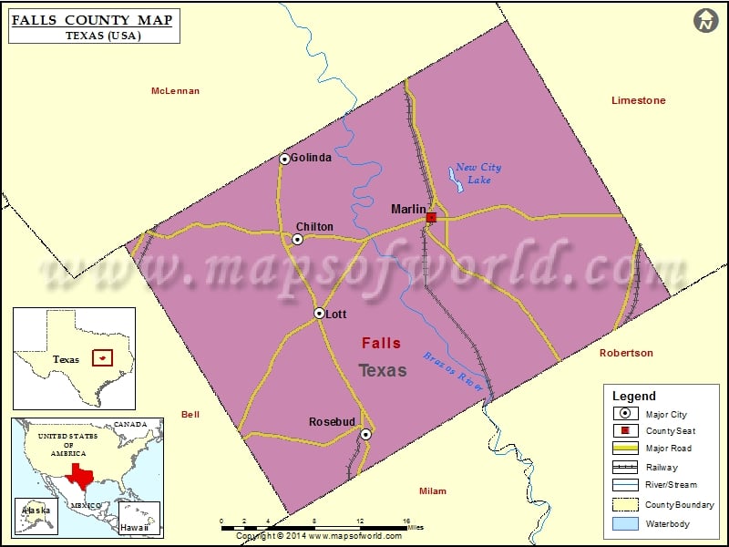
Check this Texas County Map to locate all the state’s counties in Texas Map.
Mountain Peaks in Falls County
| Mountain Peak/Hill | Elevation [Meter] |
|---|---|
| Bald Hill | 122 |
Airports in Falls County
| Airport Name |
|---|
| Holict “Private” Airport |
| Marlin Airport |
Cities in Falls County
| City | Population | Latitude | Longitude |
|---|---|---|---|
| Chilton | 911 | 31.284813 | -97.060772 |
| Golinda city | 559 | 31.371095 | -97.076303 |
| Lott city | 759 | 31.205961 | -97.033326 |
| Marlin city | 5967 | 31.30852 | -96.89334 |
| Rosebud city | 1412 | 31.075465 | -96.975077 |
Golf Courses in Falls County
| Name of Golf Course | Latitude | Longitude |
|---|---|---|
| Marlin Country Club-Marlin | 31.298675 | -96.891954 |
 Wall Maps