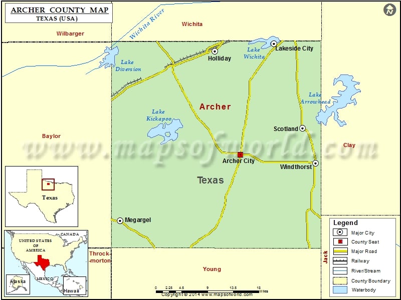
Check this Texas County Map to locate all the state’s counties in Texas Map.
Airports in Archer County
| Airport Name |
|---|
| Hornady Ranch Airport |
| Scottsdale Memorial Hospital-North Heliport |
| Tom Danaher Airport |
Cities in Archer County
| City | Population | Latitude | Longitude |
|---|---|---|---|
| Archer City city | 1834 | 33.593764 | -98.625702 |
| Holliday city | 1758 | 33.813984 | -98.689692 |
| Lakeside City town | 997 | 33.829181 | -98.540215 |
| Megargel town | 203 | 33.453575 | -98.929782 |
| Scotland city | 501 | 33.649854 | -98.467747 |
| Windthorst town | 409 | 33.575998 | -98.434827 |
Golf Courses in Archer County
| Name of Golf Course | Latitude | Longitude |
|---|---|---|
| Archer City Country Club-Archer City | 33.583828 | -98.631046 |
 Wall Maps