New York Railway
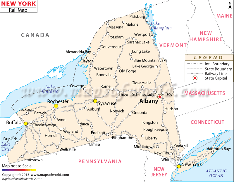
The New York Railway Map illustrates the 4,796 miles of railway routes, as surveyed in the year 2000. The railway network of New York connects cities and towns such as Albany, Plattsburgh, Buffalo, Syracuse, Wellsville, and Peekskill.
The railroad history of New York dates back to 1831 when the Mohawk and Hudson service providers came into existence, connecting Schenectady and Albany. The railways archive states that New York Central joined two prime locations, New York and Chicago, in 1867 and 1873.
The Newark Airport Train Station, Penn Station, and Central Station are the three major junctions of New York state. Amtrak is one of the prime railway service providers which offers passenger trains to various parts of New York. Long Island Railroad and New Jersey Transit Railroad provide passenger lines on a regular basis from the Penn Station of New York.
Metronorth is another railroad company which offers commuter trains to New York state. Other railway companies in New York include the Hudson River, Buffalo, State Line and Boston and Albany railroads. The New York State Map points out the extensive routes of the railways.
