- New Hampshire Counties - New Hampshire County Map, Map of New Hampshire Counties
- Major Cities of New Hampshire - Concord
- Neighbouring States - Maine, Massachusetts, Vermont
- Regional Maps - Map of USA
- Other New Hampshire Maps - New Hampshire Map, New Hampshire Physical Map, New Hampshire Airports Map, New Hampshire Lat Long Map, New Hampshire Zip Code Map, New Hampshire Area Code Map
About New Hampshire :
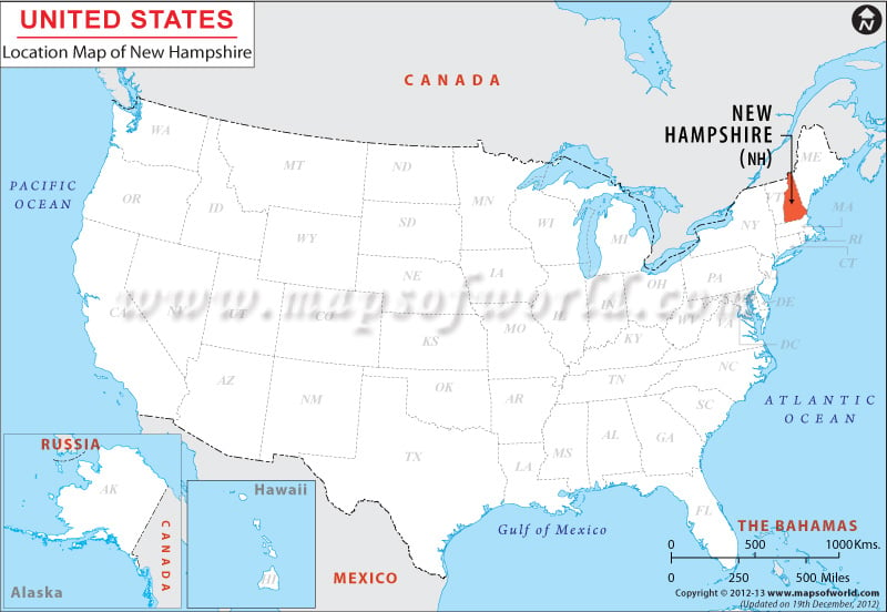
Surrounded by Quebec of Canada on its north side, by Maine and the Atlantic Ocean on the east, by Massachusetts on its south side, and by Vermont and Quebec on the west, New Hampshire is within the coordinates 44.0° N, 71.50° W. The state encompasses total area of 14,933 square miles having total land area of 14,472 square miles and a total inland water area of 461 square miles. New Hampshire stretches 93 miles on its east-west boundary and 180 miles on its north-south boundary. The total length of the boundary of New Hampshire is 555 miles.
Facts About New Hampshire |
|---|
| State Name | New Hampshire |
|---|---|
| Continent | North America |
| Country | United State (USA) |
| Capital | Concord |
| Largest city | Manchester |
| Area | 9,304 sq mi (24,217 km2) |
| Population | 1,326,813 (2014 est) |
| Lat Long | 44° 0′ 0″ N, 71° 30′ 0″ W |
| Official Language | English |
| Calling Code | 00 1 603 X (Concord) |
| Time Zone | Eastern: UTC -5/-4 |
| Airport | 3-Airports Scheduled |
| Neighbour State | Massachusetts, Maine, Vermont |
| Internet TLD | |
| Currency | United State Dollar (USD) |
 Wall Maps