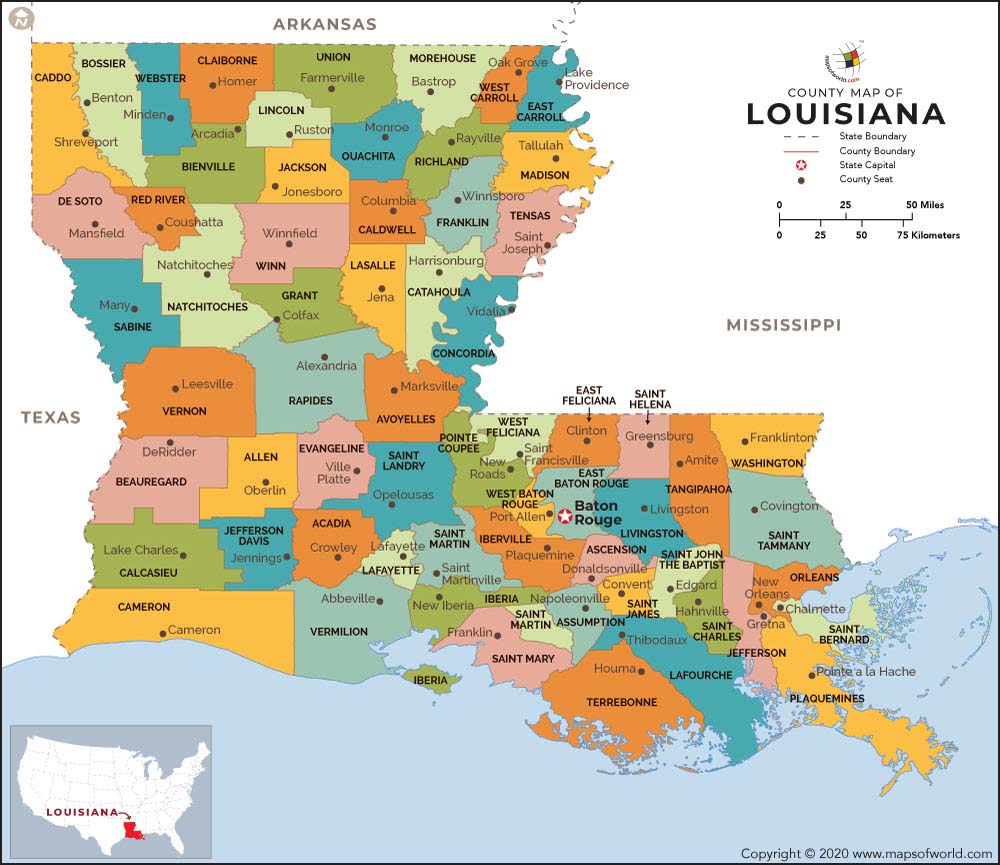
About Louisiana Parishes (Counties)
Louisiana, the 18th state of the United States, is situated in the southern parts of the country. The capital of Louisiana is Baton Rouge and New Orleans is the biggest city.
There are no counties in Louisiana and a Louisiana county map shows the various political subdivisions of the state that are named as parishes. Parishes are authorities that are equivalent to counties.
In terms of size, the biggest parish in the state of LA is Cameron Parish. At the same time, the biggest parish in terms of number of inhabitants is the East Baton Rouge Parish.
About Louisiana County (Parish) Map
The state is made up of 64 parishes that are like county – equivalents in majority of other states in the United States. Among them, 41 parishes are ruled by a council known as the Police Jury. The rest 23 parishes are governed by many other types of administration, such as council-manager, president-council, consolidated parish/city, and parish commission.
 Wall Maps