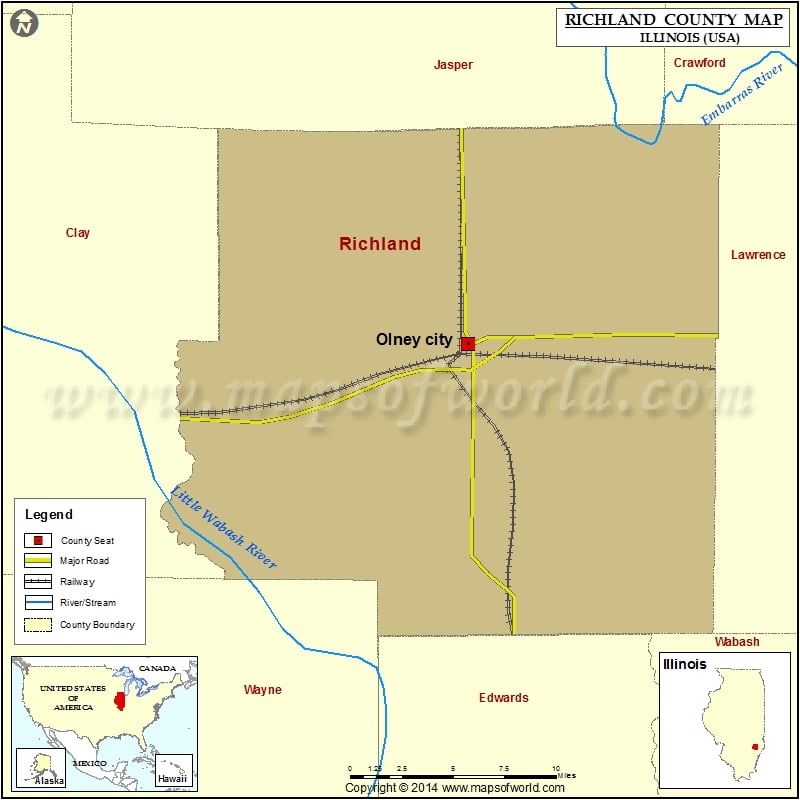
Mountain Peaks in Richland County
| Mountain Peak/Hill | Elevation [Meter] |
|---|---|
| Onion Hill | 171 |
More Maps of Richland County
- Richland County Map, Wisconsin
- Richland County Map, South Carolina
- Richland County Map, North Dakota
Airports in Richland County
| Airport Name |
|---|
| Olney Noble Airport |
| Sky Island Ranch Airport |
Cities in Richland County
| City | Population | Latitude | Longitude |
|---|---|---|---|
| Calhoun village | 172 | 38.651158 | -88.042596 |
| Claremont village | 176 | 38.718451 | -87.974905 |
| Noble village | 677 | 38.697479 | -88.223352 |
| Olney city | 9115 | 38.729745 | -88.083567 |
| Parkersburg village | 199 | 38.589307 | -88.056554 |
Golf Courses in Richland County
| Name of Golf Course | Latitude | Longitude |
|---|---|---|
| East Fork Par 3 Golf Course-Olney | 38.761718 | -88.037131 |
| Richland Country Club-Olney | 38.74863 | -88.094539 |
 Wall Maps