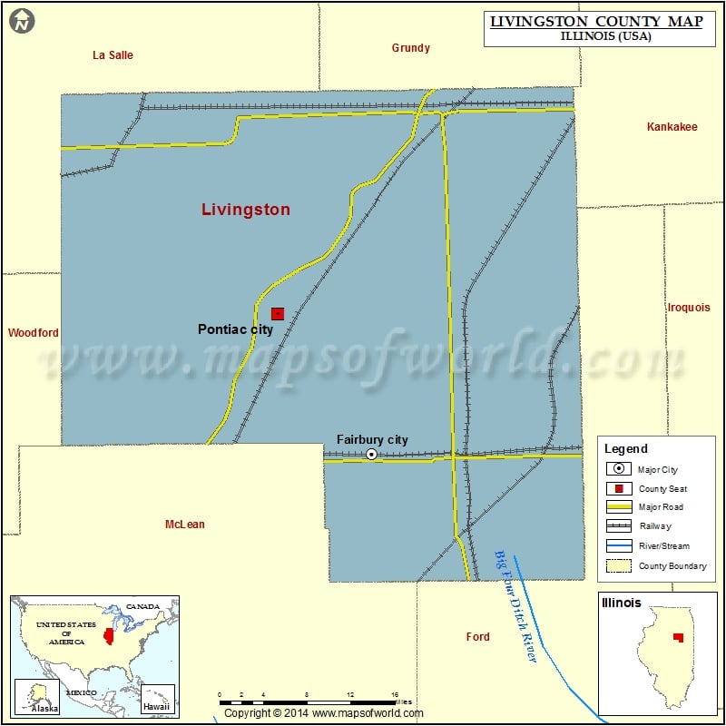
Mountain Peaks in Livingston County
| Mountain Peak/Hill | Elevation [Meter] |
|---|---|
| Smiths Mound | 228 |
More Maps of Livingston County
Airports in Livingston County
| Airport Name |
|---|
| Adams Restricted Landing Area Number 1 |
| Adams Restricted Landing Area Number 2 |
| Aero Acres Airport |
| Antique Aerodrome |
| Carter Field |
| Chatsworth Restricted Landing Area |
| Godbee RLA Restricted Landing Area |
| Grismore Airport |
| Jim & Peg RLA Restricted Landing Area |
| Norman Rittenhouse Heliport |
| Pontiac Municipal Airport |
| Riverode Farms Airport |
| Sauer Airport |
| Schott Airport |
| Seeman Airport |
| St James Hospital Heliport |
| Testoni Farms Airport |
| Watters Airport |
Cities in Livingston County
| City | Population | Latitude | Longitude |
|---|---|---|---|
| Campus village | 166 | 41.024596 | -88.30734 |
| Chatsworth town | 1205 | 40.728877 | -88.297706 |
| Cornell village | 467 | 40.992194 | -88.729389 |
| Cullom village | 555 | 40.878374 | -88.269781 |
| Dwight village | 4260 | 41.09857 | -88.423852 |
| Emington village | 117 | 40.97019 | -88.357794 |
| Fairbury city | 3757 | 40.745681 | -88.518152 |
| Flanagan village | 1110 | 40.877207 | -88.859961 |
| Forrest village | 1220 | 40.750893 | -88.409683 |
| Long Point village | 226 | 41.005274 | -88.893039 |
| Odell village | 1046 | 41.002044 | -88.522342 |
| Pontiac city | 11931 | 40.885776 | -88.643228 |
| Saunemin village | 420 | 40.892301 | -88.406179 |
| Strawn village | 100 | 40.653692 | -88.399896 |
Golf Courses in Livingston County
| Name of Golf Course | Latitude | Longitude |
|---|---|---|
| Dwight Country Club-Dwight | 41.087726 | -88.470616 |
| Indian Creek Golf & Country Club-Fairbury | 40.735274 | -88.506726 |
| Pontiac Elks Country Club-Pontiac | 40.879927 | -88.648427 |
| Twin Creeks Golf Course-Manville | 41.067351 | -88.794924 |
| Wolf Creek Golf Club-Pontiac | 40.942124 | -88.575886 |
 Wall Maps