About Delaware Counties
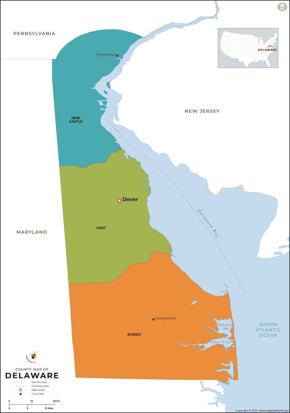
The Delaware County Map indicates the location of all the three counties that are present in the state. The Delaware state map is also an important indicator of the counties of the place. Equipped with individual county seats the state counties of Delaware collectively offer an efficient form of local governance.
Sussex, New Castle and Kent are the three counties of the Delaware state in United States of America. According to an official estimate of 2000, the county of Sussex has a total population of 156, 638. Spanning over an area of 938 sq miles, Sussex county of Delaware state has its county seat at Georgetown. The New Castle county of Delaware occupies 426 sq miles.
The total population of New Castle county as on 2000 was 500, 265. Wilmington is the administrative seat of New Castle county. Kent county has a total population of 126, 697 (official estimate of year 2000). Dover is the county seat of Kent county in the state of Delaware and the total area covered by this county is 591 sq miles.
Considered as the prime form of governance at local levels all the counties of Delaware state function towards the all-round development.
List of Counties in Delaware |
|---|
| County Name | Population (2016) | Area (sq. mi.) |
|---|---|---|
| Kent County Map | 174,827 | 589.72 |
| New Castle County Map | 556,987 | 426.27 |
| Sussex County Map | 220,251 | 937.58 |
 Wall Maps