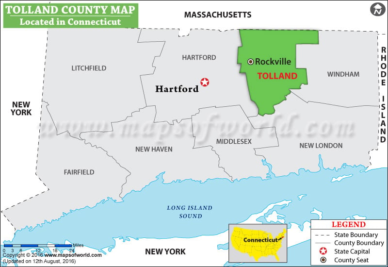
Facts about Tolland County
| County | Tolland |
| State | Connecticut |
| Country | USA |
| Population – 2015 | 151,420 |
List of Counties in Connecticut |
|||||
|---|---|---|---|---|---|
| County Name | County Seat/Capital | State | 2010 pop. | Area-km | Area-mi |
| Fairfield | Bridgeport | Connecticut | 9,16,829 | 1,618 | 625 |
| Hartford | Hartford | Connecticut | 8,94,014 | 1,904 | 735 |
| Litchfield | Litchfield | Connecticut | 1,89,927 | 2,384 | 921 |
| Middlesex | Middletown | Connecticut | 1,65,676 | 956 | 369 |
| New Haven | New Haven, Waterbury | Connecticut | 8,62,477 | 1,566 | 605 |
| New London | New London, Norwich | Connecticut | 2,74,055 | 1,722 | 665 |
| Tolland | Tolland | Connecticut | 1,52,691 | 1,062 | 410 |
| Windham | Putnam, Willimantic | Connecticut | 1,18,428 | 1,328 | 513 |
 Wall Maps