About Colorado State
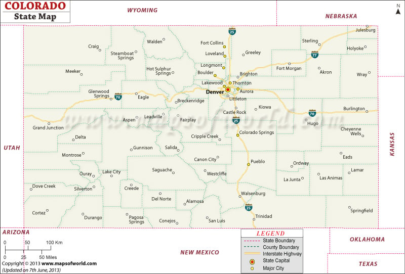
The capital of Colorado is Denver, which is centrally located in the state. Denver has a population estimated at about 704,621 (2017), and together with neighboring suburbs Aurora and Broomfield, and ten counties in total, the Denver metropolitan area is home to about half of Colorado’s population. The second most populous city in Colorado is Colorado Springs.
The state map of Colorado shows the major highways of the state, including Interstate 70, which cuts across the state from east to west, passing through the Denver metropolitan area, and Interstate 25, which passes through the capital from north to south. In addition to these interstates, there are numerous state and US highways across the state.
 Wall Maps