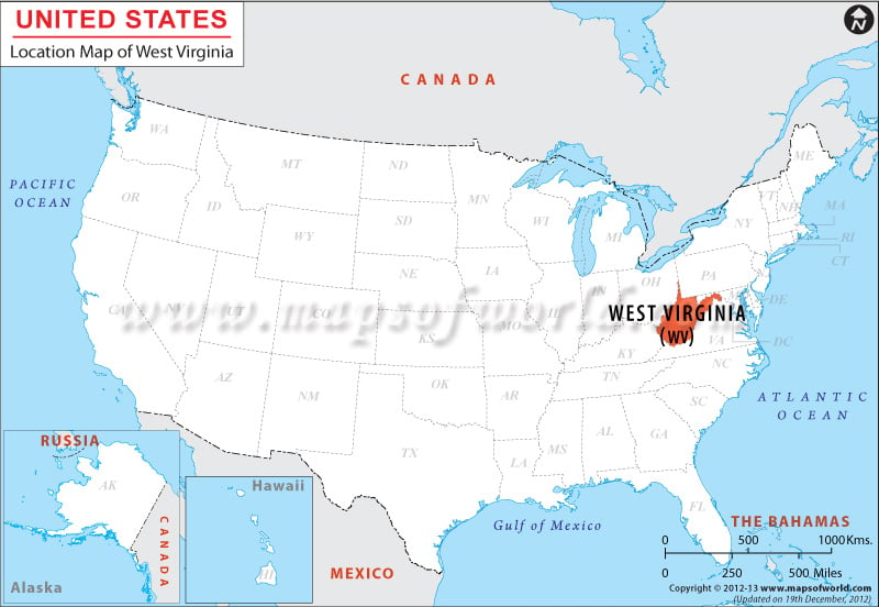
Situated in the eastern part of the United States of America; within the coordinates 39.0° N, 80.5° W; West Virginia shares its northern border with the state of Pennsylvania, western border with Ohio & Kentucky and southern and eastern borders with Virginia.
Facts About West Virginia |
|---|
| State Name | West Virginia |
|---|---|
| Continent | North America |
| Country | United State (USA) |
| Capital and largest city | Charleston |
| Area | 24,230 sq mi (62,755 km2) |
| Population | 1,850,326 (2014 est) |
| Lat Long | 39° 0′ 0″ N, 80° 30′ 0″ W |
| Official Language | De jure: none De facto: English |
| Calling Code | 00 1 304 X (Charleston) |
| Time Zone | Eastern: UTC -5/-4 |
| Airport | 7- Airports in Scheduled Service |
| Neighbour State | Virginia, Ohio, Pennsylvania, Kentucky, Maryland |
| Internet TLD | |
| Currency | United State Dollar (USD) |

 Wall Maps