
 Wall Maps
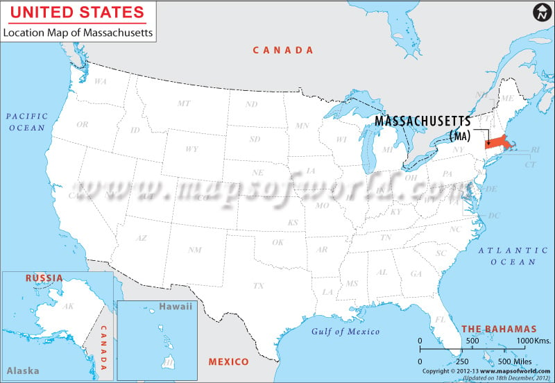
Massachusetts is located at the coordinates 42.3° N, 71.8° W. It is bordered by Connecticut and Rhode Island in the south, by New York to the west and New Hampshire and Vermont to the north. The Atlantic Ocean is to the east of Massachusetts.
Massachusetts has an important place in US history from cultural and commercial standpoints. Plymouth was the second permanent colony that was set up by the English. Most of the towns in Massachusetts were set up by the British during the 1620s and 30s.
Facts About Massachusetts
| State Name | Massachusetts |
|---|---|
| Continent | North America |
| Country | United States (USA) |
| Capital and largest city | Boston |
| Area | 10,555 sq mi (27,336 km2) |
| Population | 6,745,408 (2014 est) |
| Lat Long | 42° 18′ 0″ N, 71° 48′ 0″ W |
| Official Language | English |
| Calling Code | 00 1 617 X (Boston) |
| Time Zone | Eastern: UTC -5/-4 |
| Airport | 7- Airports in commercial service |
| Neighbour State | New Hampshire, Connecticut, Rhode Island, New York, Vermont |
| Internet TLD | |
| Currency | United States Dollar (USD) |