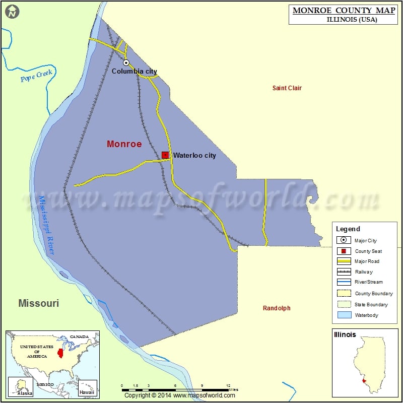
Monroe County Map, Illinois
Mountain Peaks in Monroe County Mountain Peak/Hill Elevation [Meter] Potato Hill 218 More Maps of Monroe County Monroe County Map, Wisconsin Monroe County Map, Alabama Monroe County Map, Florida Monroe…
Mountain Peaks in Monroe County
Mountain Peak/Hill
Elevation [Meter]
Potato Hill
218
More Maps of Monroe County
Airports in Monroe County
Airport Name
Duclos RLA Restricted Landing Area
Harold K. Wells Airport
King Airport
Monroe County Ambulance Service Heliport
Prima Airport
Ralph Jacobs Airport
Sackman Field
Cities in Monroe County
City
Population
Latitude
Longitude
Columbia city
9707
38.458212
-90.216744
Fults village
26
38.164093
-90.212805
Hecker village
481
38.3049
-89.994145
Maeystown village
157
38.226834
-90.232696
Valmeyer village
1263
38.306929
-90.297006
Waterloo city
9811
38.338934
-90.153384
Golf Courses in Monroe County
Name of Golf Course
Latitude
Longitude
Acorns Golf Links-Waterloo
38.29121
-90.199887
Annbriar Golf Course-Waterloo
38.353804
-90.200299
Columbia Golf Club-Columbia
38.479948
-90.218967
River Lakes Golf Course-Columbia
38.468151
-90.238481
The Ridge Golf Course-Waterloo
38.344878
-90.130934
Waterloo Country Club-Waterloo
38.361701
-90.145609

 Wall Maps