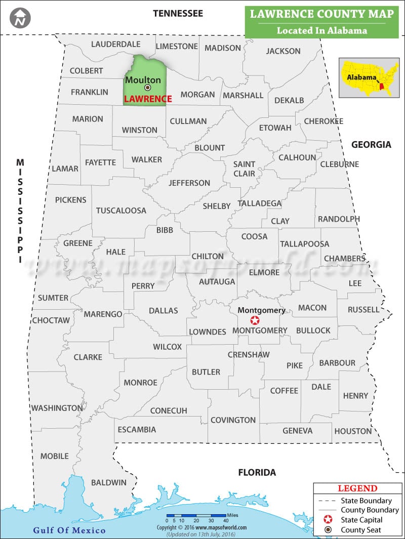
Lawrence County Map, Alabama, shows a visual representation of the county's location. It is located in the northern part of the state. Lawrence County, Alabama is known for its captivating natural beauty, historic significance, and vibrant communities. The map also highlights the capital and county seat Moulton.
Lawrence County Map, Alabama showing the location of Lawrence County.
Map of Lawrence County
You can also create a a personalized map of Lawrence County, simply click the ‘Customize’ button above the map. It will redirect you to our digital store where you can create a customize map of Lawrence as per your needs or liking. Also, explore our comprehensive Alabama County Map to discover more about the state’s counties.

 Wall Maps