- Neighboring Countries - Uganda, Central African Republic, Kenya, Ethiopia, Sudan
- Continent And Regions - Africa Map
- Other South Sudan Maps - South Sudan Map, South Sudan Blank Map, South Sudan Rail Map, South Sudan River Map, South Sudan Cities Map, South Sudan Political Map, South Sudan Flag
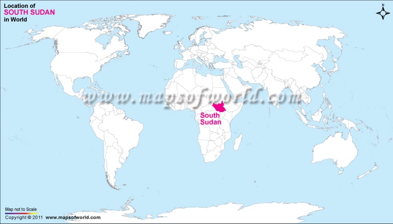
South Sudan, officially The Republic of South Sudan, is a country in East Africa. It became an independent state on July 9, 2011 following a referendum held in January 2011 in which nearly 99% of voters opted for separation from the rest of Sudan. Its capital and largest city is Juba. See the location map for more details.
Location of South Sudan
South Sudan is a landlocked country bordered by Ethiopia on the East; Kenya to the Southeast; Uganda to the South; the Democratic Republic of the Congo to the Southwest; and the Central African Republic to the West; and the Republic of the Sudan to the North. South Sudan includes the vast swamp region of the Sudd formed by the White Nile, locally called the Bahr al Jabal.
Facts About South Sudan |
| Country Name | South Sudan |
|---|---|
| Continent | Africa |
| Capital and largest city | Juba |
| Area | 619,745 km2 (239,285 sq mi) |
| Population | 12,340,000 (2015 estimate) |
| Lat Long | 4.8500° N, 31.6000° E |
| Official Language | English |
| Calling Code | +211 |
| Time Zone | East Africa Time (UTC+3) |
| Airport | 2-Airports Scheduled Service |
| Neighbour Countries | Sudan, Ethiopia, Kenya, Uganda, the Democratic Republic of the Congo ,Central African Republic |
| Internet TLD | .ss |
| Currency | South Sudanese pound (SSP) |

 South Sudan Facts