3.6K
- Peru Regions - Amazonas, Ancash, Apurimac, Arequipa, Ayacucho, Cajamarca, Callao, Cusco, Huancavelica, Huanuco, Ica, Junin, La Libertad, Lambayeque, Lima Province, Lima, Loreto, Madre de Dios, Moquegua, Pasco, Piura, Puno, San Martin, Tacna, Tumbes, Ucayali
- Peru Cities - Huancayo, Huaraz, Ica, Lima, Tacna, Trujillo
- Neighboring Countries - Brazil, Bolivia, Ecuador, Chile, Colombia
- Continent And Regions - South America, Americas
- Other Peru Maps - Peru Map, Where is Peru, Peru Political Map, Peru Road Map, Peru Railway Map, Peru River Map, Peru Physical Map, Peru Flag
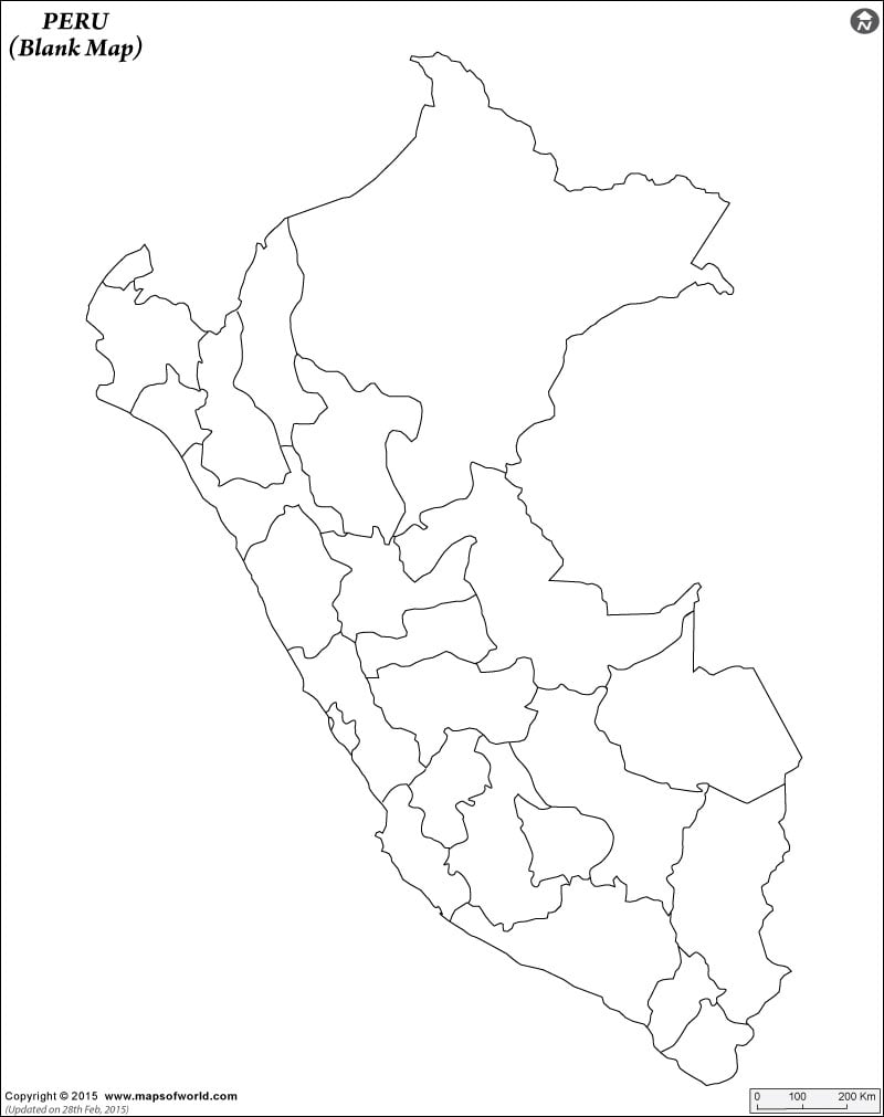
Click to view pdf and print the Peru Outline Map for kids to color.
 |
Click to view pdf and print the Blank Map of Peru for kids to color.
 |
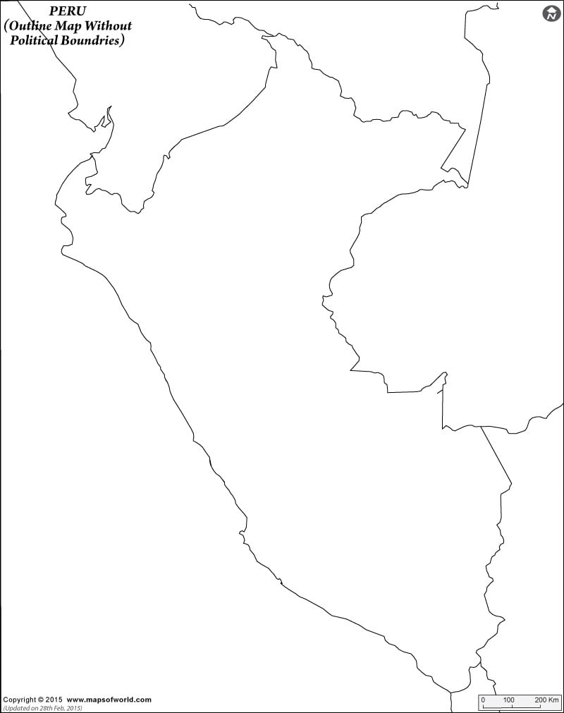
Click to view pdf and print the Peru Outline Map Without Political Boundries for kids to color.
 |
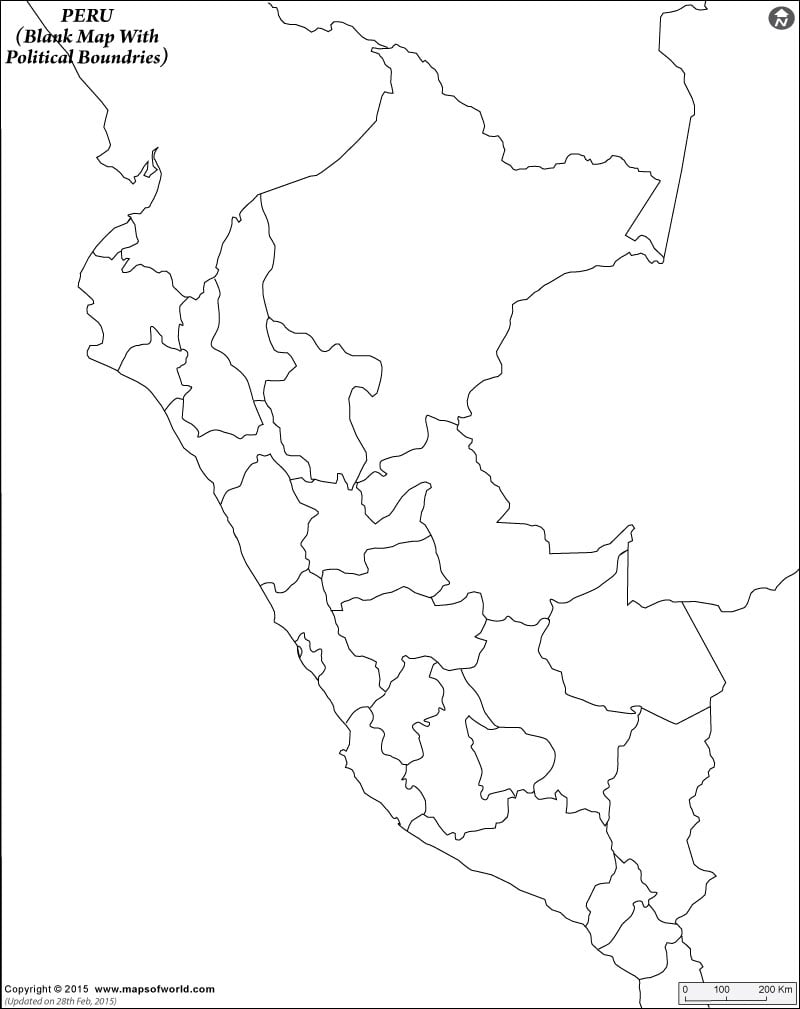
Click to view pdf and print the Peru Blank Map With Poltical Boundries for kids to color.