- Neighboring Countries - Solomon Islands
- Continent And Regions - Oceania Map
- Other Papua New Guinea Maps - Papua New Guinea Map, Papua New Guinea Blank Map, Papua New Guinea Political Map, Papua New Guinea Road Map, Papua New Guinea River Map, Papua New Guinea Cities Map, Papua New Guinea Flag
Where is Papua New Guinea ?
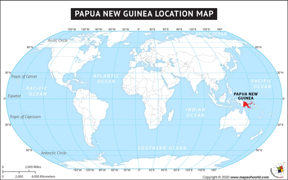
Papua New Guinea is located in Oceania in the southwestern Pacific Ocean. Making up the eastern half of the island of New Guinea, the Papua New Guinea mainland is the center of most of the country’s population and most of its cities. Papua New Guinea’s other islands include New Ireland, New Britain, Bougainville, and Manus Island.
Once controlled by Australia, Papua New Guinea is just 150 kilometers across the Torres Strait from Australia (at Cape York, the northernmost point in Australia).
The country of Papua New Guinea is in the Oceania continent and the latitude and longitude for the country are 5.9054° S, 147.4080° E.
The neighboring countries of Papua New Guinea are:
Maritime Boundaries
- Australia
- Federated States of Micronesia
- Solomon Islands
- New Caledonia
Facts About Papua New Guinea |
|---|
| Country Name | Papua New Guinea |
|---|---|
| Continent | Oceania |
| Capital and largest city | Port Moresby |
| Area | 462,840 km2 ( 178,703 sq mi ) Water (%) 2 |
| Population | 7,059,653 (2011 Census) |
| Lat Long | -6.494012, 143.803432 |
| Official Language | Hiri Motu, Tok Pisin, sign language, English |
| Calling Code | +675 |
| Time Zone | AEST (UTC+10) |
| Airport | 52 Airports |
| Neighbour countries | Soloman Island, Australia, Indonesia |
| Internet TLD | .pg |
| Currency | Papua New Guinean kina |

 Facts about Papua New Guinea