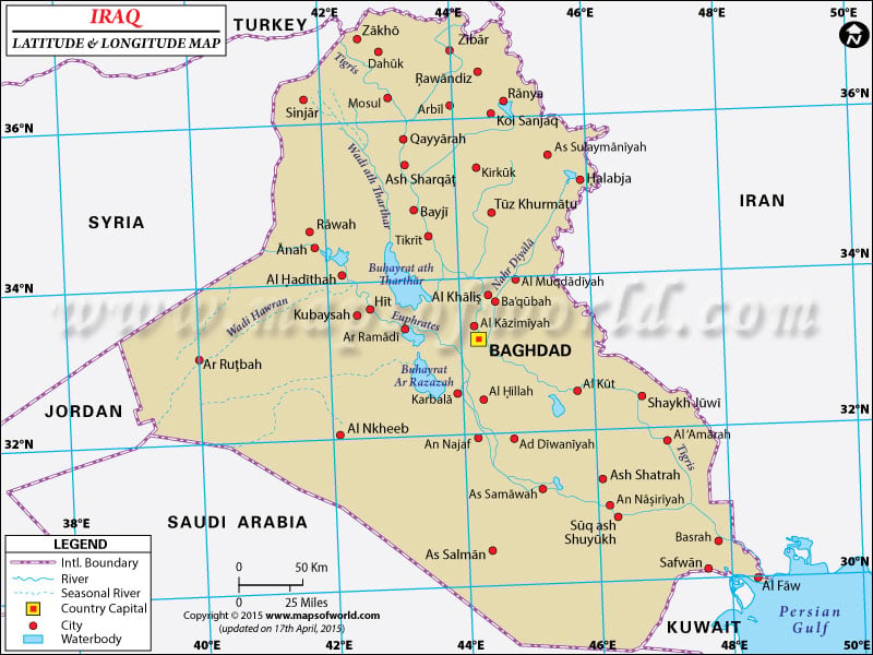
The geographical alignment of
Iraq suggests
latitude of 33° 00' N and
longitude of 44° 00' E.
The definite
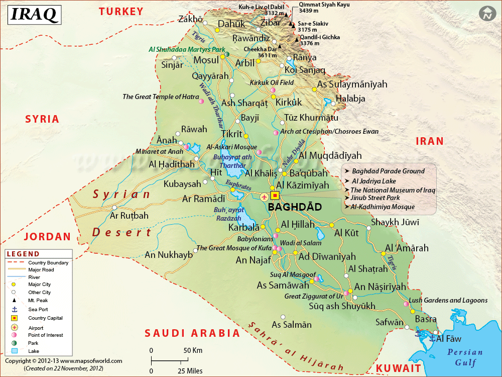
latitude of Iraq signifies its position in Northern Hemisphere and its moderate distance from the equator. The country of Iraq is bounded by Persian Gulf, Iran and Kuwait.
The country of
Iraq includes 1,648,000 square kilometers of area in the Middle East. The terrain is featured with by and large wide plain lands, high marshlands beside Iranian boundary towards south with great inundated regions. There are mountain and crag ranges all along the boundary line with the countries of Iran and Turkey.
The climatic condition of Iran is featured with extreme diverse weather. Summers are cloudless and arid while the winters are gentle and cool. The
latitude and the longitude of
Baghdad the capital of
Iraq are 33° 21' S and 44° 25'E respectively. The difference of time is noticed as UTC+3.
Latitude and Longitude of Iraq |
|---|
Last Updated on: November 17th, 2017
