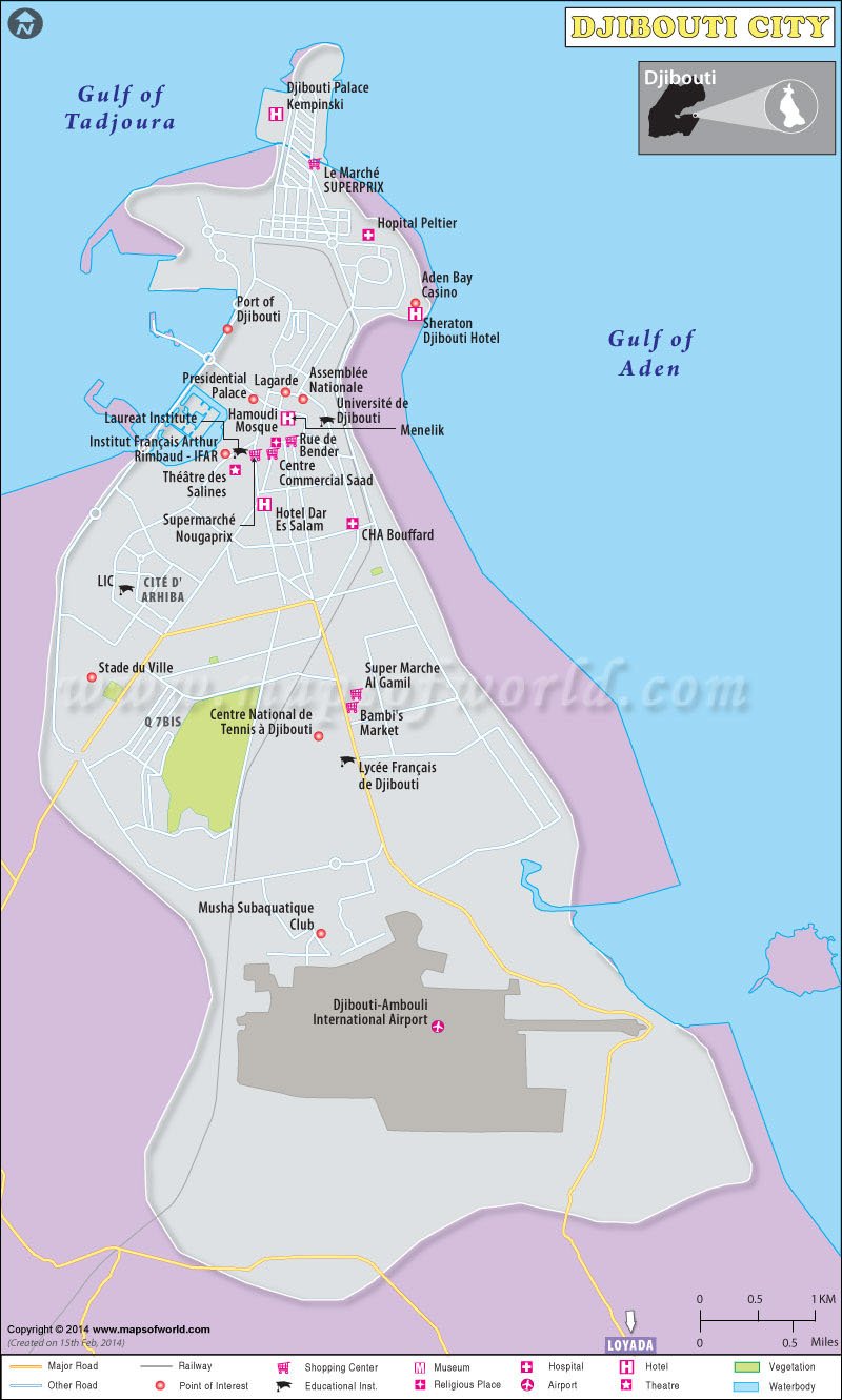
Djibouti is the name of a small country in eastern Africa. The capital of Djibouti is Djibouti City. Djibouti replaced Tadjoura in the year 1892 and became the capital of Djibouti. In Arabic, Djibouti City is known as Jibuti. Djibouti’s capital was founded in 1888 by the Catalan Eloi Pino.
The city lies to the south of the Gulf of Tadjoura. The latitude and longitude of the capital of Djibouti are 11° 35′ 42N and 43° 8′ 53E respectively.
The Djibouti-Addis Ababa Railway is located in Djibouti City and connects the city to Addis Ababa. Djibouti City also has an international airport known as Djibouti-Ambouli International Airport. It connects the city to a number of international destinations like Paris, Dubai, Nairobi, Asmara, and others. The port lies in the northwest part of Djibouti City. This port is used for international trade as well as for fishing. Ferries connect the city to Obock and Tadjoura.
Djibouti City has a number of hotels of different categories. Tourists who come to this country usually put up in the city hotels because of the varied facilities available there. The tourist attractions are in close proximity to the city. The bus service available in the city also makes the interconnectivity in the city cheap and convenient. The city has some famous markets where handicraft goods are sold. These are great attractions for tourists.

 Lake Abbe