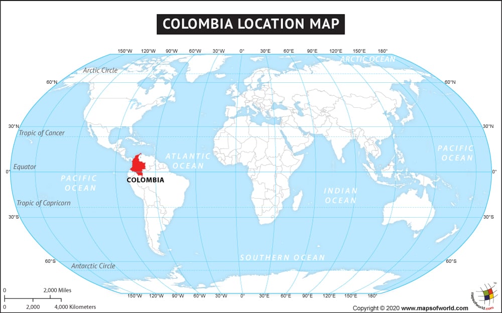
- Colombia Departments - Amazonas, Antioquia, Arauca, Atlantico, Bolivar, Boyaca, Caldas, Caqueta, Casanare, Cauca, Cesar, Choco, Cordoba, Cundinamarca, Distrito Capital, Guainia, Guaviare, Huila, La Guajira, Magdalena, Meta, Narino, Norte de Santander, Putumayo, Quindio, Risaralda, San Andres y Providencia, Santander, Sucre, Tolima, Valle del Cauca, Vaupes, Vichada
- Neighboring Countries - Venezuela, Ecuador, Peru, Brazil
- Continent And Regions - South America, Americas
- Other Colombia Maps - Colombia Map, Colombia Blank Map, Colombia Political Map, Colombia Railway Map, Colombia Road Map, Colombia River Map, Colombia Physical Map, Colombia Flag
Colombia located in the northwest side of South America is officially called the Republic of Colombia. This country is bordered by Brazil and Venezuela in the east, Panama in the northeast and Peru and Ecuador in the south. Caribbean Sea in the north and North Pacific Ocean in the west are its coastal boundaries. Colombia occupies a total area of 1,138,910 Sq. Km. making it the 26th largest country of the world. It has a coastline covering an area of 3,208 km. Colombia shares its maritime boundaries with its neighboring countries on the basis of seven agreement it had on the Caribbean Sea and three on the Pacific Ocean. Colombia is situated on the Pacific Ring of Fire. The geographical coordinates of Colombia are 4 00 N and 72 00 W. Colombian terrain includes both high Andes and low Llanos region. The capital city and the largest city of Colombia is Bogota D. C. Climatically Colombians enjoy tropical weather along the coast and cooler weather in the highlands.
Facts About Colombia |
|---|
| Country Name | Colombia |
|---|---|
| Continent | South America |
| Capital and largest city | Bogota |
| Area | 1,141,748 km2 ( 440,831 sq mi) Water (%) 8.8 (17th) |
| Population | 48,014,026 (February 2015 estimate) |
| Lat Long | 4.5833° N, 74.0667° W |
| Official Language | Spanish |
| Calling Code | +57 |
| Time Zone | COT (UTC−5) |
| Airport | 168 Airports in Colombia, 58- Airports Scheduled |
| Neighbour Countries | Venezuela, Ecuador, Peru, Panama, Brazil |
| Internet TLD | .co |
| Currency | Colombian peso |
