- Neighboring Countries - Montenegro, Serbia, Croatia, Italy
- Continent And Regions - Europe Map
- Other Bosnia Maps - Bosnia Map, Bosnia Blank Map, Bosnia Road Map, Bosnia Rail Map, Bosnia Cities Map, Bosnia Political Map, Bosnia Physical Map, Bosnia Flag
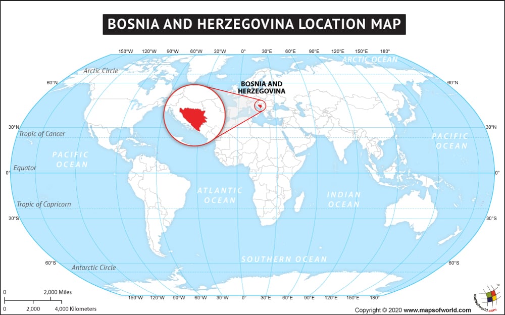
Bosnia and Herzegovina is located on the Balkan Peninsula in southeast Europe. Bosnia and Herzegovina are two regions of the country with vaguely define border between them. Bosnia primarily covers the northern region and Herzegovina the southern part. This almost landlocked country is bordered by Serbia in the east, Croatia in the north, south and west and Montenegro to the southeast. It has only 20km coastline on the Adriatic Sea around the city of Neum. The country span over an area of 51,197 sq. km. and is the hundred and twenty ninth country of the world in area. Sarajevo, the European Jerusalem or the Olympic City of the country is also its capital and largest city along with being its commercial and tourist center.
The country experiences hot summer and cool winters. It has continental climate with a touch of Mediterranean climate in the southern part. The country has mainly mountainous and rugged topography. Bosnia and Herzegovina is one of the fastest tourism growing countries of the world.
Facts About Bosnia and Herzegovina |
|---|
| Country Name | Bosnia and Herzegovina |
|---|---|
| Continent | Europe |
| Capital and largest city | Sarajevo |
| Area | 51,197 km2 (19,741 sq mi) |
| Population | 3,867,055 (July 2015 est.) |
| Lat Long | 44 00 N, 18 00 E |
| Official Language | Bosnian, Croatian, Serbian |
| Calling Code | 387 |
| Time Zone | CET (UTC+1) Summer (DST) CEST (UTC+2) |
| Airport | 4- International Airports |
| Neighbour Countries | Serbia, Montenegro, Croatia |
| Internet TLD | .ba |
| Currency | Convertible mark (BAM) |
